I’ve expressed my enjoyment of geographic portmanteaus previously. These are place names created by mashing together two or more other place names. Delmarva is a perfect example. The Delmarva Peninsula on the east coast of the United States is bound on the east by the Delaware River and the Atlantic Ocean, and on the west by the Chesapeake Bay.
The Delmarva includes most of the U.S. state of Delaware along with chunks of Maryland and Virginia, thus Del+Mar+Va. The peninsula contains several towns with similarly-influenced portmanteau names such as Mardela Springs, Delmar and Marydel. 12MC readers have been kind enough to mention these inspired locations in various comments over the years. This series has long been on my list of places I’d love to visit in person. So I finally had a chance to experience two of the three last weekend.
I’d like to propose a wonderful, low-hassle road trip for readers who live in the Washington, DC or Baltimore, MD metropolitan areas who travel to Maryland’s Atlantic beaches during the summer weekends. This requires a tiny detour from U.S. Route 50, the “Ocean Gateway, ” while delivering multiple geo-oddities in quick succession. It adds less than two miles to the overall length of a beach trip.
Mardela Springs, Maryland

The portmanteau town of Mardela Springs requires almost no detour whatsoever. Turn right off of Route 50 and drive a single block to arrive at the Mardela Town Hall, pictured above. Go another block, turn left on Main Street for maybe three more blocks and it will position a visitor perfectly to continue on Delmar Road for the next oddity, which appears about three miles later. It’s not a portmanteau but it might be even better.
Delaware’s Southwestern Corner

Delaware features a sharp angle that is slightly larger than 90°. This is the state’s southwestern corner. More precisely, it’s the intersection of the southern terminus of Mason-Dixon Line with the Transpeninsular Line. I visited the eastern end of the Transpeninsular Line previously. This was my first time at this place, however, which is the approximate midpoint of the Transpeninsular Line (i.e., half way across the Delmarva Peninsula). That’s almost too much compact geographic craziness for one person to comprehend. I made me giddy.
The two states have cooperated nicely to protect multiple boundary stones set into the ground here. They’ve erected a protective pavilion with a brick walkway leading from a small semicircle parking area directly off the roadway. I selected a photograph taken from the north side on the Mason-Dixon line looking south in order to show the walkway and parking. The left side of my body was in Delaware and the right side was in Maryland. I’ve been to lots of boundary stones and markers during my adventures. Rarely have I seen a location so well maintained and truly convenient.
Delmar, Delaware/Maryland
Another seven miles brings one to Delmar and a rather peculiar situation, the “Little Town Too Big for One State.” Delmar’s primary road, State Street, straddles the border between Delaware and Maryland with sizable portions on both sides of the line.
“Delmar is two incorporated towns: Delmar, Delaware, governed by a Mayor and four council members is located in Sussex County and Delmar, Maryland, governed by a Mayor and four commissioners, is located in Wicomico County. The Towns share a central administration, police department, public works department, and sewer/water facilities that are jointly owned and operated.”
How’s that for unusual?

I drove the length of State Street and it’s fairly busy. I wanted a border-straddling photo so I went just west of town a couple of hundred feet down Line Road, which also follows the border. That way, I figured, I might be able to reduce the chance of hit-and-run accident while I foolishly stood in the middle of the road with a camera. Delaware is on the left and Maryland is on the right, with the Transpeninsular Line cutting directly through me.
The final portmanteau town, Marydel, will have to wait for another day. It was too far away.
It would be very easy to cut directly south towards Route 50 from here, and continue onward towards the beach.
Victory Celebration

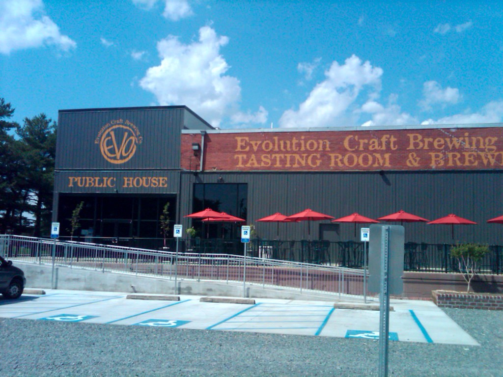
I continued south however, another few miles into Salisbury, Maryland. I topped-off my portmanteau and border hunting adventures by stopping at the new Evolution Craft Brewing tasting room. Completely relaxed, I continued with the rest of my journey.
This has to be the easiest geo-oddity tour I’ve ever experienced.

Leave a Reply