Twelve Mile Circle occasionally features topics that don’t warrant an entire article. I collect these items in a spreadsheet and present them all together every once in awhile. However I hadn’t done one of those in awhile and the topics began to pile-up on my list. Odds and Ends 12 appeared all the way back in March 2016! That surprised me a little. I needed to do some spring cleaning so I hopped to it.
An Island Apart

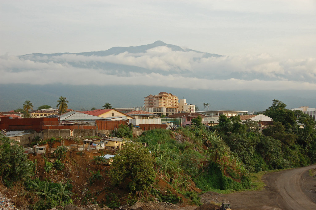
The small African nation of Equatorial Guinea featured an odd geographic arrangement. Most of the nation occupied a rectangle of land bordering the western continental coastline. As well, it included an island quite a bit removed towards the northwest, directly off of the coast of Cameroon. Yet, Equatorial Guinea placed its capital on that island and not on the mainland. The island went by the name of Bioko and the city Malabo (map).
That arrangement existed as a relic of colonialism. Europeans first encountered this corner of Africa when Portuguese navigator Fernão do Pó landed on Bioko in 1472. That effort didn’t stick so Portugal traded the island to Spain in 1777. Spain didn’t do much with it either so the British came along and squatted on it in the 1820’s when they found nobody from Spain occupying it. Spain got around to reasserting sovereignty in 1844 and the island remained in Spanish control until Equatorial Guinea gained its independence in 1968. Malabo became the capital by default because it was the oldest and most developed city in the new nation.
Malobo won’t be the capital much longer, however. Equatorial Guinea plans a new capital deep within its mainland jungle interior. Construction began several years ago and government functions started moving to the new city, Oyala (map) in February 2017 [UPDATE: renamed Ciudad de la Paz]. This completely planned community may someday hold up to two hundred thousand residents, nearly a quarter of the nation’s population. The BBC explained at least one motivation. President Teodoro Obiang Nguema survived several coup attempts and he wanted a more secure location. Oil revenues fund its construction.
What a Mistake

An oddly named geographic feature appeared as I researched the Pub with No Beer. There, just to the northwest of Taylors Arm, I spotted Mistake State Forest (map). I never did find the mistake that led to its name. However, I did learn that it covered 5,638 hectares (~14,000 acres) managed by the Forestry Corporation of New South Wales. I think I made a mistake when I tried to investigate Mistake State Forest.
Fortunately I ran across something completely unexpected and infinitely more interesting. Minnesota’s Star Tribune covered a situation where an 80-year-old error in land records wiped out a popular state trail. Minnesota sold some surplus acreage to a private landowner near International Falls in 1935 and forgot to record its sale. “And the buyer, a prominent International Falls businessman, apparently lost track of the purchase amid all his wheeling and dealing.” The spot subsequently became a popular recreational area (map) on Rainy Lake. It might have a generally happy ending though. The heirs seemed willing to gift much of the land back to the state, although retaining acreage with prime views.
A Literal Name

I noticed that a user landed on 12MC from a remote corner of Montana, so I took a closer look. The spot said Colstrip (map), which I considered a rather strange name. Wouldn’t it be funny, I though, if the name came from an actual strip of coal. Well it did, as the city confirmed.
“Colstrip was established by the Northern Pacific Railway in 1924 as a company town to provide coal for their steam locomotives. The mining is open pit strip mining, where draglines remove soil above the layer of bituminous coal from the Fort Union Formation.”
The coal mining tradition continued to the present day, with the nearby Rosebud mine being one of the largest in the state. Later, a large power plant opened up nearby to generate electricity for a huge territory surrounding it.
However, Colstrip residents face an uncertain future as pressures build on coal. Nearly everyone in town works either at the mine or at the power plant. Meanwhile coal begins to fall out of favor. It probably won’t be worth renovating the plant to make it more efficient. It’s too outdated. The plant was built forty years ago and is now considered “the nation’s 15th-largest producer of greenhouse gases.”
First Name, Last Name

I discovered an additional example of First Name, Surname Symmetry recently. This one involved an historical figure named DeWitt Clinton. He dominated New York politics during the early part of the Nineteenth Century. His service included mayor of New York City and multiple terms as Governor. He nearly became President of the United States with a respectable showing against the eventual winner, James Madison. Clinton’s crowning achievement may have been his pivotal role in promoting and building the Erie Canal. This opened a vitally important trade route to the growing interior of the nation. This singular achievement led to dozens of places named in his honor throughout the American Midwest.
They must have really loved DeWitt Clinton in Iowa, though. The state (then a territory) named one of its counties Clinton in 1837 (map). Then the county took it one step further. Two of the towns that formed within its boundaries became DeWitt and Clinton, located about 20 miles (32 kilometres) apart (map). That formed an excellent First Name, Surname Symmetry.
Some astute readers may have already figured out how I discovered this happy confluence, especially the people who follow my 12MC Twitter account. I was in Clinton, Iowa three days ago although I’m back home now. Take that as a little foreshadowing of articles soon to come.

Leave a Reply