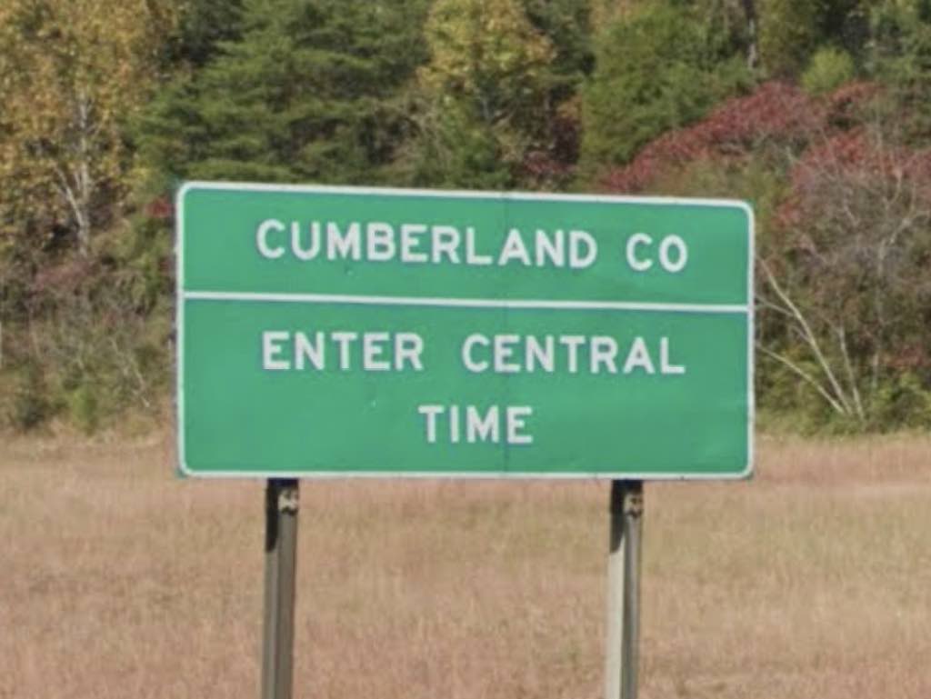
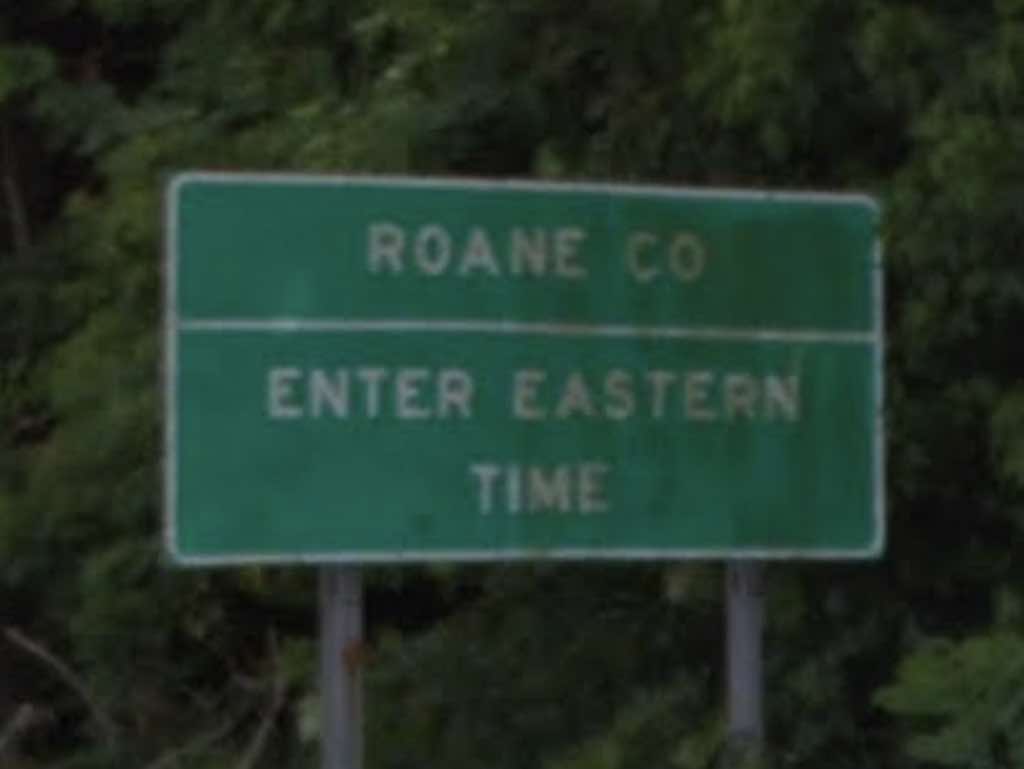
So you’re driving along Interstate 40 in eastern Tennessee and you want to know where the time changes. Let’s make this easy. It happens between Mile Markers 340 and 341.
- If you’re driving westbound, going from Eastern Time into Central Time, set your coordinates to: 35.895888°, -84.701530°
- If you’re driving eastbound, going from Central Time into Eastern Time, set your coordinates to: 35.895666°, -84.701624°
I’ll guess that answers the question for about 99% of you. Feel free to put the phone down now and focus on driving. Thanks for stopping by and good luck on the rest of your trip!
However, if you want more details than anyone would ever care to know, please keep reading.
The Setup
It seems like everyone wants to know where the time zone changes on I-40 in Tennessee. I’ve received tons of search queries recently about that exact spot. Most of the web hits land on my phenomenally popular Interstate Highway Time Zone Crossings page. That’s completely expected of course because the answer definitely exists there. But it’s also a very comprehensive list and it’s a bit confusing for those looking for a single piece of information.
Many time zone changes in the United States happen at state borders. Thus, it’s easy to know when the time changes. It’s pretty apparent, for example, when someone crosses between Georgia and Alabama. However, Tennessee falls within an interesting geographic situation and it’s also really wide. So a drive from Memphis to Kingsport stretches nearly 500 miles and takes more than 7 hours. It makes no sense to keep the entire state within a single time zone.
Therefore the U.S. government had to find a way to split Tennessee. Logically they used a convenient basis that already existed: county structures. As a result, about a quarter of Tennessee’s counties fell into the Eastern Time Zone and three-quarters within Central Time.
Westbound (going from Eastern to Central Time)

For those driving along Interstate 40, the time zone boundary falls between Cumberland and Roane Counties.
I’ve been to Tennessee plenty of times and visited many of its counties. However, I don’t know the boundaries well enough to understand intuitively where this happens. You probably don’t either. Otherwise nobody would ever need this page. Right?
The Cumberland – Roane border doesn’t run near any major cities either. Knoxville is probably the closest population center, about 45 miles to the east. So someone driving west out of Knoxville will hit Central Time about 45 minutes later, plus or minus. That’s a pretty good rule of thumb and something fairly easy to remember. For something more exact, use the mile markers or coordinates I posted above.
Eastbound (going from Central to Eastern Time)

That trick won’t work heading eastbound, from Central Time into Eastern Time. It’s something like 150 miles from Nashville. Although I guess someone could watch for road signs showing distance to Knoxville. Or again, use the information I posted above.
Of course, another option might be to watch the time flip on your mobile phone. Honestly, I’ve had mixed results with that alternative. Sometimes a phone grabs a cell tower right near the border and it happens quickly. Other times it’s delayed or even gets stuck on the “wrong” time. Naturally none of this will help you if you’re using an old-school watch. You’ll have to deal with that manually.

Leave a Reply