Terceira, The Azores (Açores), Portugal (March 2001)

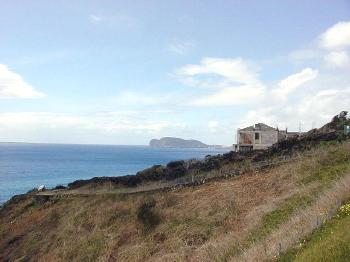
We drove west along Terceira’s southern coastal road. The scenery became increasingly impressive all along the way. Finally we turned a corner and noticed a spit of land jutting outward from the island across the pastoral landscape. This marked Monte Brasil, the volcanic caldera at Angra do Heroísmo (map).
Hugging the Coast

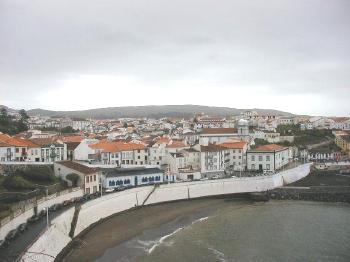
The Estrada Gaspar Corte Real ran along the western edge of the town’s harbor. An attractive whitewashed seawall protected it. And it needed it. The town clung to the side of a downward sloping hill right to the shoreline.
The Fortress

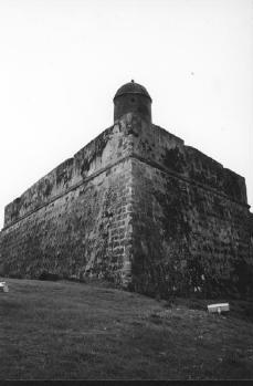
The Fortaleza de São Sebastião was a coastal defensive fortress dating back to 1580. It rose above the eastern edge of Angra do Heroísmo to protect it from attack or capture. Since King Sebastião ruled at the time, it got his name.
However it differed from traditional structures of the time. It represented a new architectural concept in fortress design. The military build it purely to defend the port rather than mimic earlier acropolis-style castles set high on hillsides above town. Notice the angles built into the fortress. These allowed defenders to fire weapons from multiple directions.

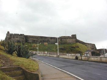
Additionally I took a photo from a different vantage. This showed Fortaleza de São Sebastião from the harbor. To the immediate right, not quite visible in this photograph, is the current marina and port. Just beyond that is the sea. This perspective makes it easy to see why they located the fortress at this strategic point.
Also a companion fort resided on the opposite side of the harbor at Monte Brasil. This allowed the Portuguese to protect the entire mouth of the bay with crossfire.

Leave a Reply