The more I thought about it, apparently body parts influenced an awful lot of geographic names. It seemed natural though. People liked to name things after familiar objects. What could be more familiar than the flesh right there in front of them? From head to feet and practically everywhere in between, I found spots on the map that shared those names. I focused on a small sample of some of the more interesting references.
Foot

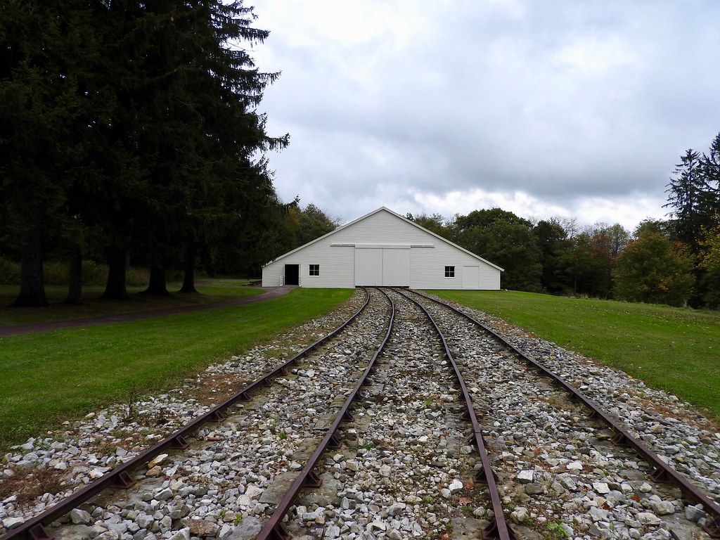
The name that began this latest search appeared in Pennsylvania. Imagine living in a place called Foot of Ten (map). Within this unincorporated village stood the Foot of Ten Independent Baptist Church. Its website solved the mystery.
The Pennsylvania Legislature authorized construction of a canal between Philadelphia and Pittsburgh in 1826. This would do more than simply connect two cities, it would open a trade route between the eastern seaboard and the frontier. Pittsburgh offered direct access to the Ohio and Mississippi River watersheds. However, builders faced a problem: the Eastern Continental Divide atop the Allegheny Mountains. Tunnels or locks would not be feasible on such a massive scale.
Instead, the builders borrowed an idea from England, the use of inclined planes. I mentioned such structures in Tunnels, Bridges, Lifts and Inclines a few years ago. Here the solution became the Allegheny Portage Railroad. Workers loaded barges onto rail cars that went through a series of ten inclined planes; five uphill and five downhill. Then the barges resumed their canal ride on the other side. Pulleys and ropes helped move loaded rail cars between inclines, up and over the ridge. They named each incline numerically, from one to ten. A little village sprouted at the foot of Incline Ten. Not being terribly original, the village became Foot of Ten.
Knee

Wounded Knee leapt immediately to mind as I considered noteworthy examples. Wounded Knee Creek flowed into the White River in southwestern South Dakota (map). The name originated exactly as I thought. Rival groups of Native Americans clashed at that spot somewhere in the long forgotten past and one of the men suffered a wound to his knee. Thus, Wounded Knee. Those events happened well before Wounded Knee entered the lexicon for an entirely different reason.
Historians used to call an infamous 1890 incident the “Battle of Wounded Knee.” More contemporary interpretations labeled it the “Wounded Knee Massacre.” The exact sequence of events will likely never be known. By one account it began when U.S. Cavalry soldiers attempted to disarm members of the Lakota tribe at their encampment. One member of the tribe, being deaf, did not understand the soldiers’ intent. A struggle for his rifle and a possible accidental discharge began a shooting spree on both sides. The soldiers didn’t stop firing until 150 Lakota, including unarmed women and children, lay dead upon the frozen ground.
Backbone

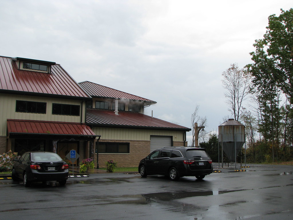
In Virginia, the small Devils Backbone brewery quickly grew, and eventually large enough to be purchased by Anheuser-Busch InBev in 2016. I’ve been to both their original brewpub location in Roseland and their “Outpost” production brewery outside of Lexington during my beer wanderings. Naturally I wondered about the unusual name. Did it come from the geography of the nearby Blue Ridge Mountains?

Actually, the name did indeed come from there and it tied to a rather notable colonial-era accomplishment. The brewery’s website explained further.
“On September 25, 1746, eight years before the French and Indian War, a party of forty set out from Bear Fence Mountain in the Blue Ridge on one of the most legendary land surveys in American history… Their task was to carve and measure a straight line, eighty-miles long through the wilderness, connecting the sources of the Rappahannock and Potomac Rivers. This line was known as ‘The Fairfax Line’.”
I visited the northwestern terminus of that line at the Fairfax Stone last year.
The Geographic Names Information System listed several different Devils Backbones just in Virginia alone. Looking at the Fry-Jefferson Map of 1751, the one inspiring the brewery seemed to be the ridge on the western flank of the Shenandoah Valley (map). The survey line crossed what they called “The North Ridge alias the Devil’s Back Bone.” not too far west of current Mount Jackson, the town with the awesome water tower.
Finger

So many interesting places existed throughout the world that I generally don’t travel to the same place more than once. I’ve made an exception for the Finger Lakes of New York. I’ve explored the region twice and I’d love to get there a third time. It’s that beautiful. These lakes earned their name for their appearance, like fingers pressed upon the earth.
Glaciation, as one might expect, created these lakes. Glaciers during the most recent ice age pushed down through north-south valleys. Their southward flow accentuated these valleys and left deep, broad troughs behind. They also pushed debris to their farthest extremes. When the glaciers retreated, those large debris moraines became natural dams. Water filled the troughs, and behold, the Finger Lakes appeared. Creeks and rivers left hanging after ice retreated created amazing waterfalls like Taughannock Falls, Watkins Glen and Buttermilk Falls.
So Many More
I could go on-and-on although it’s probably time to stop. Heads, teeth, mouths, elbows and lots of other body parts appeared across the landscape. I so wanted to add Liverpool. Unfortunately, Liverpool was not named for the liver. It came from the Old English word “lifer,” meaning “thick, clotted water.” Yuk. Even a liver sounded more attractive.

Leave a Reply