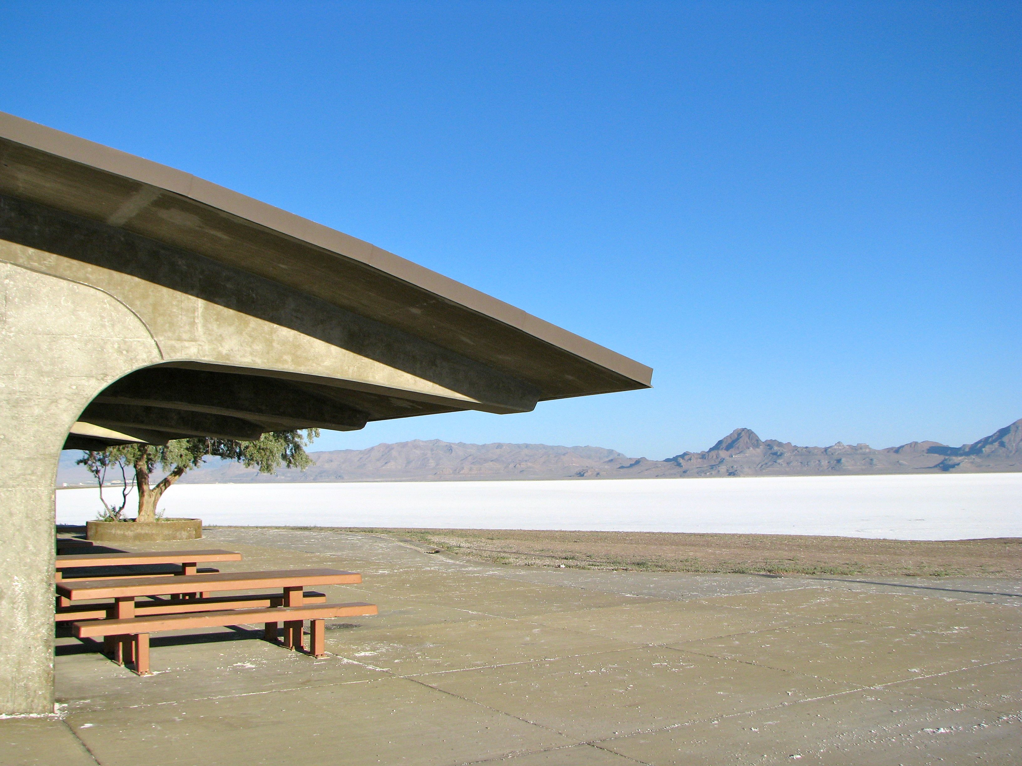
Near Wendover, Utah, USA (July 2011)
Something strange looms in the Utah desert along Interstate 80 west of the Great Salt Lake, about an hour-and-a-half outside of Salt Lake City. The terrain begins to change, starts to flatten-out. Streaks of white appear along the ground, gradually growing into patches, then into the dominant feature. Salt. One enters an epic salt pan, completely flat and stretching practically as far as the eye can see towards the base of jagged mountains on the far horizon (map).
Look closely and one will notice the tracks of automobiles peeling away from the highway, heading straight into a colorless void that resembles freshly-fallen snow. Nothing dares to grow on this hostile plain. It is devoid of all living things. One flies along the Interstate as the town of Wendover, nearly twenty miles away, appears in the distance. The Bonneville Salt Flats don’t begin to dissipate until near the Nevada border.
Salt

The Bonneville Salt Flats are just that, about 90% sodium chloride (common table salt) with lesser amounts of potassium and other minerals. It is a desiccated artifact of ancient Lake Bonneville that once covered much of the Great Basin. The lake ceased to exist about 14,000 years ago when most of its water released in a single natural cataclysm called the Bonneville Flood.
The Great Salt Lake is the largest aquatic remnant of this once mighty feature, but the Bonneville Salt Flats are equally fascinating in a totally different way. The water all drained or evaporated here, leaving behind a densely-packed layer of salt that had collected for millennia.
The salt flats fill 46 square miles and gets as deep as five feet in some areas. That would fill quite a few salt shakers.
Speed

It’s unbelievably smooth and flat. A shallow layer of water forms on the surface in the winter. Prevailing winds smooth the surface as it evaporates. This results in a self-correcting natural process almost like what a Zamboni does to an ice skating rink.
Adventurers at the turn of the last century realized that this created ideal conditions to test how fast an automobile might drive if pushed to its limits. The Bonneville Salt Flats became an institution for those wishing to break land speed records through much of the Twentieth Century, including the famous “Blue Flame” which attained a speed of 622.4 miles per hour in 1970.
People still test their mettle here in officially-sanctioned annual events such as SpeedWeek, the World of Speed and Motorcycle Speed Trials. Others just venture onto the flats on their own accord and simply start driving, a practice of dubious legality. I did not attempt this in the Family Truckster. However, if I had, I was cautioned to make sure to hose-off the salt right away to prevent all kinds of corrosion.
Metaphor

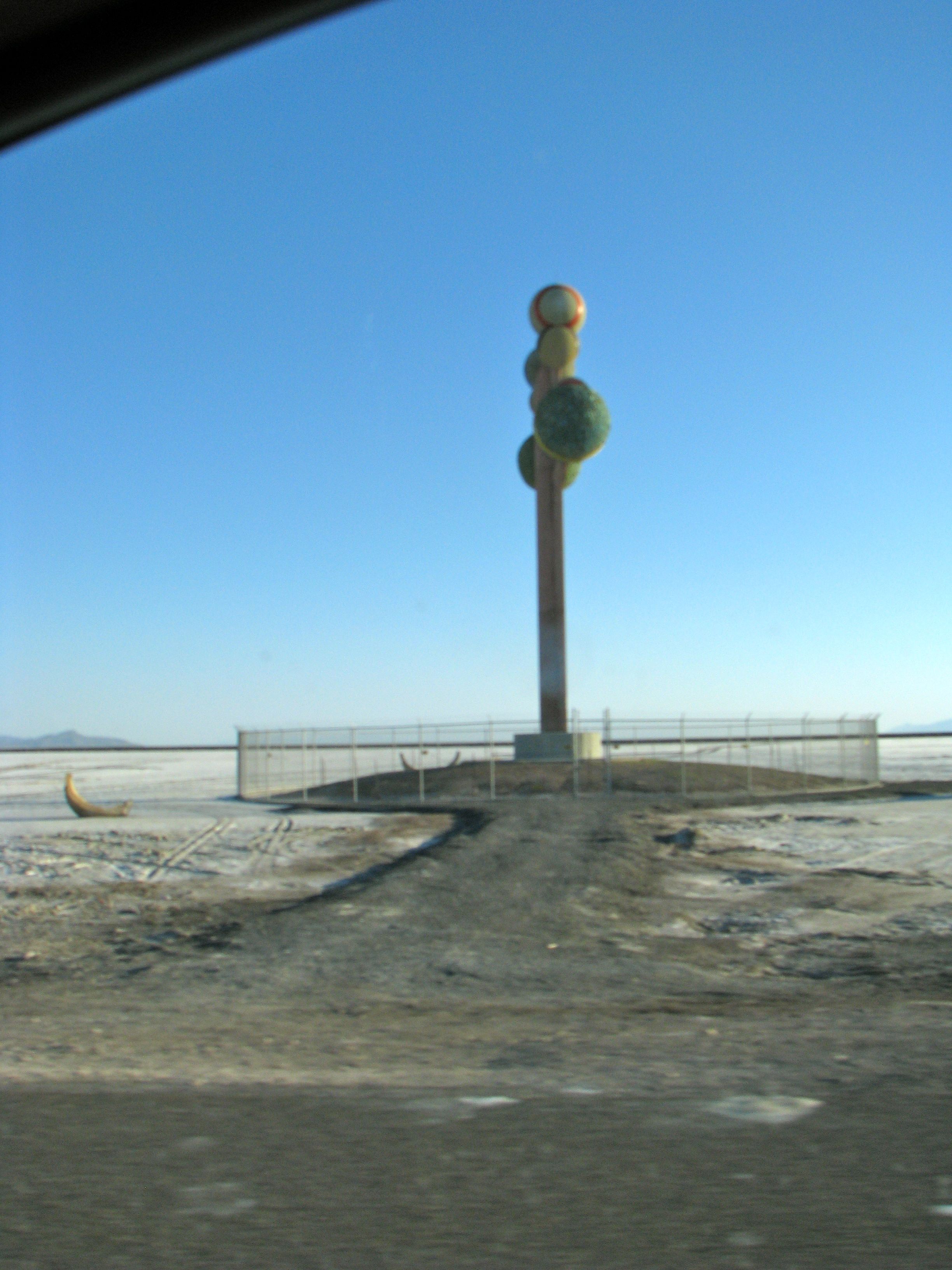
Far in the distance, one spots a weird object protruding from the salt flats alongside Interstate 80 near mile marker 26. This is a large, elaborate artwork known as “Metaphor: The Tree of Utah.”
Karl Momen, a Swedish artist, installed his tree in 1986. It rises 87 feet and is decorated with natural stones from Utah. I wanted to stop and appreciate this immense object but there wasn’t anyplace to stop. Instead of a pullout as one would expect, I was greeted with a string of signs making it clear that there’s nowhere to park and one should keep moving. Instead the tree had been imprisoned by a fence. Perhaps that’s the metaphor. I had a single opportunity to snap a photograph as I zipped along the highway.
People seem to delight in telling me that the Bonneville Salt Flats are a boring, desolate landscape that make for a mind-numbingly awful driving experience. I found it just the opposite. The scenery allowed the mind to daydream while pondering the vastness of the space, amid the interplay of saline and mountain.

Leave a Reply