With numerous places named for British Kings George I, II and III already examined and set-aside in the previous article, it was time to turn my attention to IV, V and VI. This would be more difficult. The first set of Georges ruled for a contiguous period of more than a century, from 1714 to 1820. It also happened to coincide with a rapid expansion of the British Empire. The remaining three ruled for half that time with a large gap in between as the Empire began to unravel. There were considerably fewer opportunities to name places for those Georges.
Most of the names had already been bestowed within the Empire and new territories weren’t being added so much anymore. Also, opportunities in the United States and other places dried-up after their independence. Even so I still found a few examples scattered amongst other areas of the world. Sometimes I had to get creative, though.
George IV (reigned 1820-1830)

That creativity extended to the City of Guelph in Ontario, Canada (map). Guelph? Yes, Guelph was named for King George IV. The University of Guelph explained the logic:
“Where did the name GUELPH originate? The city of Guelph was named in 1827 to honour the British Empire’s King George IV, whose family name was Gwelf. The spelling has been changed to today’s “Guelph” — but it’s pronounced just as it was 170 years ago: gwelf (rhymes with self). The origin of the city’s name is also why you might hear Guelph referred to as “The Royal City.” Of course, we just refer to it as ‘home.’”
I decided to provide another example just in case readers felt a bit cheated by the reference to Guelph. Purists in the audience probably wanted to see something named George instead. How about Georgian Bay (map)? This corner of Lake Huron on the Canadian side of the border sat east of Manitoulin Island and the Bruce Peninsula. It was quite sizable. The surface area covered fifteen thousand square kilometres (just a little smaller than Kuwait), so George IV got at least one geographic feature of note named for him. Indeed, I confirmed its truth.
Examples began to taper off quickly from there. Lots of cities named streets for George IV, including a nice elevated one in Edinburgh, Scotland. However his somewhat brief reign limited the availability of naming opportunities.
George V (reigned 1910-1936)

The First World War was of course a horrific conflict that ravaged Western Europe. However, it did result in something that met the criteria for this article, a swanky street in Paris named for George V. The city originally called it Avenue d’Alma. Then the French decided to honor George V for his support to the nation during the war. They changed the name to Avenue George V on Bastille Day, July 14, 1918 (map).
It wasn’t a long road, less than a kilometre, although it was exceedingly prestigious as befitting the ruler of an important ally. It formed one side of Paris’ Triangle d’Or (Golden Triangle) when paired with Ave. Montaigne and the Champs-Elysées. Many consider this “the most luxurious place on the right bank.” This also provided a home to the magnificent George V Four Seasons Hotel, a 1928 Art Deco masterpiece. These were all served by the adjacent George V station on the Paris Metro subway.
Additionally, George V gained a lake named for him located directly on the equator in Uganda (map). Well, technically he was still Prince George at the time. I thought that should still count even though he wasn’t yet king. I had to take what I could get. There weren’t many options.
George VI (reigned 1936-1952)

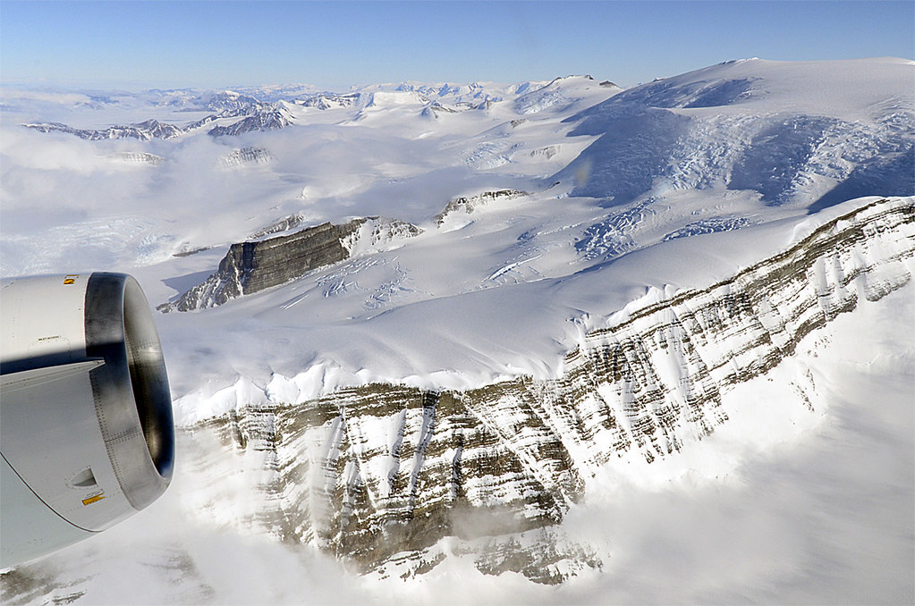
What blank spaces on the map could the British possibly be able to fill by 1936 when George VI came to the throne? Why, places in Antarctica of course! It might have been a bit removed from the beaten path although the territory was immense, as plenty of naming opportunities still existed.
Lincoln Ellsworth was born into a wealthy Chicago family and had the financial means to become an Antarctic explorer. His groundbreaking 1935 expedition by airplane “covered a distance of 2200 miles of which 1200 miles was over previously unexplored territory.” and he “was able to photograph the major fault depression” along his route.
The British Graham Land Expedition reached the rift overland by sled the following year, traveling 200 miles “down the channel separating Alexander Island from the Peninsula.” This expedition named this area King George VI Sound (map). Most of the sound was covered by ice, and that became the King George VI Ice Shelf. It was big too, stretching 300 miles (483 km). The scale was downright impressive. George VI did alright with that deal, all things considered.

Leave a Reply