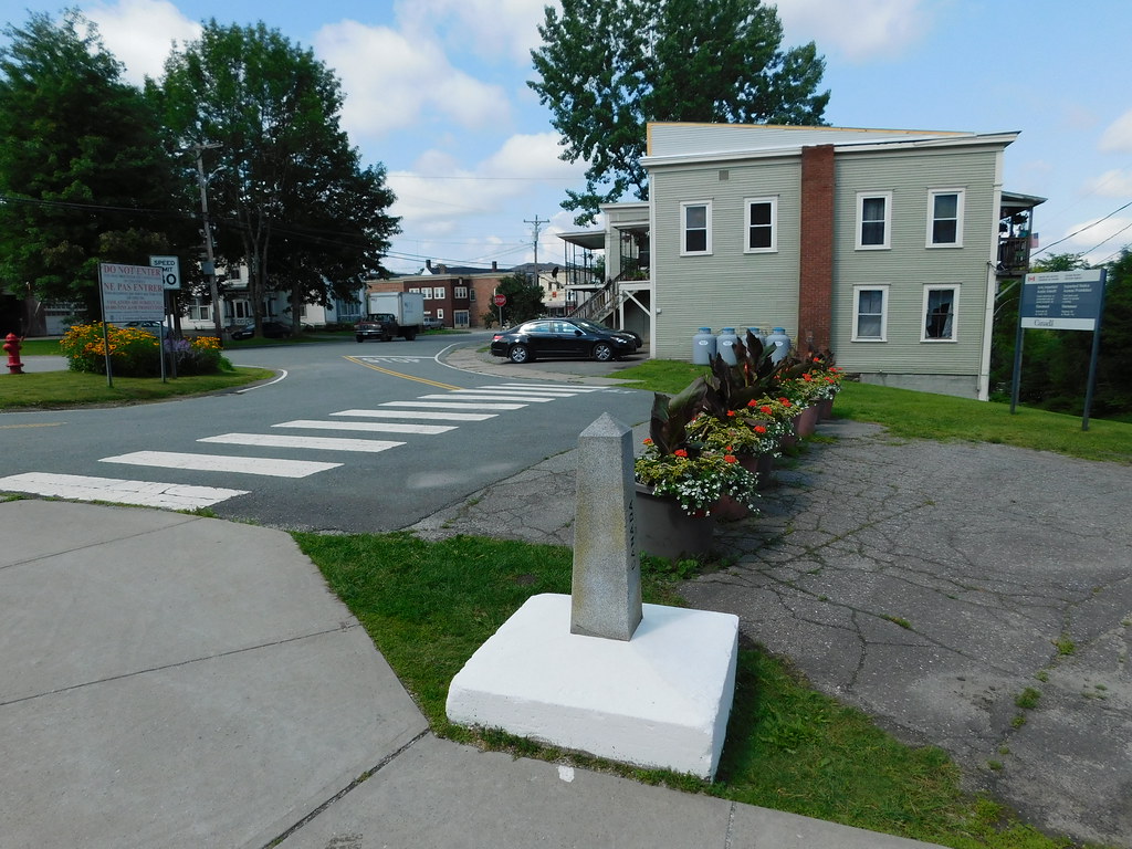
This is just a quick post for the morning. I wanted to alert the audience to a news article in case you haven’t seen it yet. It said: Gate splits border community, unites it in disdain. This relates to the historically unimpeded border between Derby Line, Vermont, USA and Stanstead, Québec, Canada.
Split Apart

The adjoining towns always felts like a single community. However, steel gates will now close formerly unguarded streets. Officials allege that drug smugglers and illegal immigrants are using online mapping tools to find easy ways across the border. That is unacceptable in a post 9-11 world.
It’s a palpable concern. I wonder if I will get onto some kind of “list” if I post a map link. Anyway, you can read it just as easily as I can describe it. So please take a look if it interests you.
Obscuring the Border
Coincidentally, just yesterday I came across a curiosity while conducting some research for the article that will appear tomorrow.
Yes, Google Maps appeared to blur a portion of the USA – Canada border (map). Perhaps they wanted to mask the exact locations of border towers and mounted surveillance cameras. Otherwise, why bother? The Derby Line – Stanstead image appears unblurred for the moment on the day that I’ve posted this (October 3, 2009). However, for how long will that remain the case? Especially now that the popular news media has publicized it?
[UPDATE: Google Maps eventually removed the blurring so we’ll never know the reason]

Leave a Reply