Hoonah-Angoon Census Area of the Unorganized Borough, Alaska, USA (August 1995)
Tarr Inlet

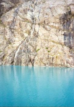
Not all of the snow that falls into Glacier Bay region packs into glaciers that calve into icebergs hundreds of years later when it eventually flows into the sea. Some of it simply melts as the summer progresses and rolls as liquid down the hillsides into intermittent waterfalls. The waterfall above dropped across a barren stone wall into Tarr Intlet in the far northwestern corner of Glacier Bay National Park (map). The water coloring in this series of photographs is due to powdered stone that has been scraped from the bedrock and pulverized by immense glacial forces.
Johns Hopkins Inlet

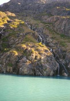
This little waterfall found its way into the Johns Hopkins Inlet (map). This locale had some mossy greenery that seemed to cling desperately to the stone so it has been awhile since glaciers retreated from here. A few moments earlier we had seen a bear foraging along the shoreline.
Readers who have an interest in waterfalls might also want to check my Waterfalls Index page.
Wildlife

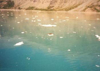
There was other wildlife. We saw a seal resting on a chunk of ice as it floated near the Grand Pacific Glacier (map). You might see him too if you look for the brown spot on the frozen chunk at the center of the image. Or you might have to take my word for it.
Glaciers

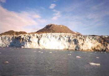
A glacier once covered these hills but it has since retreated. Ice ground the outcrops down to bedrock as it scraped away the surface. Plants began to return once the glacier fully retreated although it’s a slow process. Bare rock isn’t the best growing surface. Plants are just beginning to reassert themselves on the terrain in the photograph above.
See the article index from the 1995 Southeast Alaska trip.

Leave a Reply