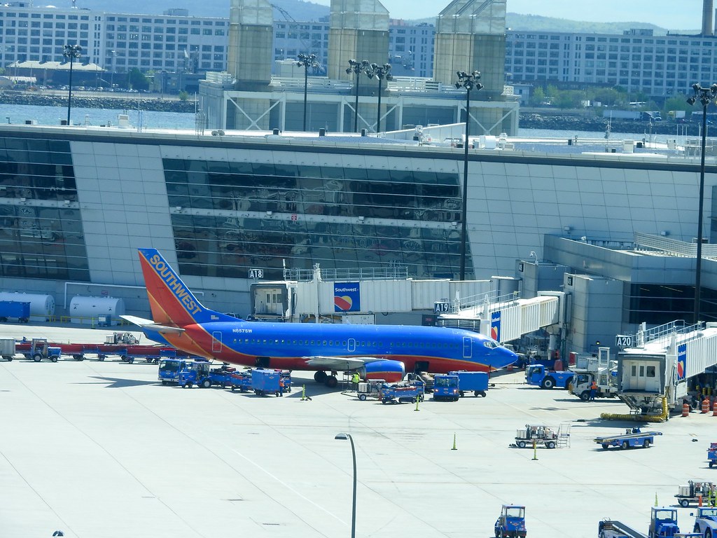
I got so excited about my walk through Boston’s Back Bay neighborhood that I got a little ahead of myself in the story. I should probably back up a bit. Let’s start with the airline flight that brought me to this wonderful spot along the Charles River. A nor’easter blew through last week bringing bitter cold and incessant rain. However, it completely cleared out as the weekend trailed away. Monday brought crisp blue skies and warmer temperatures; light jacket weather — my favorite time of year.
Tips
It’s been a long time since I’ve shared a travel tip. So I think this would be an appropriate opportunity to mention another lesson I’ve learned from many years of business travel. I’ve talked about how to find a decent meal. I’ve also suggested a way to find thoughtful yet free souvenirs for the kids waiting back home. For that one I’ll note that mobile phone cameras are now “good enough” for these purposes. The third tip I’ll share assumes some flexibility. Namely, it’s always best to pick a flight right around noon on a weekday, especially a Monday.
I’ll go into the office to put in a few hours of productive work. Maybe I’ll bang out a bunch of emails that have collected over the weekend. Then I’ll leisurely make my way over to the airport. I’m just a few minutes away and I can literally see a section of the runway from my window. Thus, I do realize I’m more fortunate than most and perhaps this tip won’t work for everyone.
The mayhem of Monday morning flights has completely cleared out by then. On the other hand, it’s too early in the day for people returning from trips. Airports are ghost towns at noon. That has all sorts of positive implications for getting through security, grabbing something to eat, and boarding flights without being jostled.
The Weather Cooperated

I had perfect weather and an empty flight. I owned the entire exit row and sat in a seat with nothing else in front of it. It felt like first class. This must have been what it was like during the Golden Age of jet travel back in the 1960’s before the airlines became the bus. Maybe I’m idealizing that image. I never actually experienced those days of flying. Back then a trip was an event and people dressed up in their Sunday best before taking to wing. Stereotypically though, that’s how I imagined it. Regardless it seems a far cry from the dehumanizing experience that it has devolved to today.
I almost never look out the window during flights anymore. Most flights are crammed with people and I can barely fit my frame even remotely comfortably into an aisle seat. It’s a rare treat when I have an entire row to myself combined with a cloudless day. I put my book away and plastered my face to the window instead. It was an amazing day for someone obsessed with geography and maps. Every physical feature of the eastern seaboard appeared with such precision that I can tell you my exact flight path from memory.
Leaving Washington

I sat on the right side so I faced east for most of the flight and experienced an oceanside view. I’m sure I would have gotten a great shot of Manhattan and the other large eastern cities had I sat on the left. Nonetheless I was just as happy with the land formations along the coast. I did get a great view of Washington, DC and all of its glorious grids and diagonals. I also spotted the green wedge formed by Rock Creek Park, as the jet followed the nose abatement path along the Potomac River before swinging north.
Delmarva Peninsula
I’m always a little surprised by the width of the Delmarva Peninsula, or more properly the lack of width. It sure doesn’t seem that way while fighting Friday night traffic out to Ocean City. However, one can see clearly across it from Chesapeake Bay to Delaware Bay at an altitude of 33,000 feet. The individual features at Cape Henlopen and Cape May practically jumped from the farmland plains below where Delaware Bay meets the Atlantic Ocean. I tried to spot the ferry running across the mouth of the bay from Lewes, Delaware to Cape May, New Jersey. It was literally that clear of a day.
Up the Coast
Ribbons of sand defined barrier islands along the New Jersey Coast. Then we cut the southwestern tip of Long Island into New York and flew straight up the Sound. I kept a watchful eye as we passed mysterious Plum Island. I could clearly discern the buildings where scientists concocted who-knows-what in their laboratories.
We nicked Connecticut right around Mystic. There I spotted the little geo-oddity known as Fishers Island that belongs to New York for historical reasons but probably should be part of Connecticut due to proximity. Block Island appeared as we approached Rhode Island. There we then cut over the harbor with the complicated patchwork of island-hopping bridges connecting to Newport.
Into Boston
Thence we traversed the southeastern corner of Massachusetts. I didn’t have a sightline out to the tip of Cape Cod, a bit of a disappointment but hardly unsettling given all the other incredible objects spotted. Heading into Logan provided a wonderful opportunity to view the numerous isles of Boston Harbor. Those included several of the lighthouses and a clear low-altitude view of Fort Independence before hitting the tarmac.

I wish it were always this easy and entertaining.

Leave a Reply