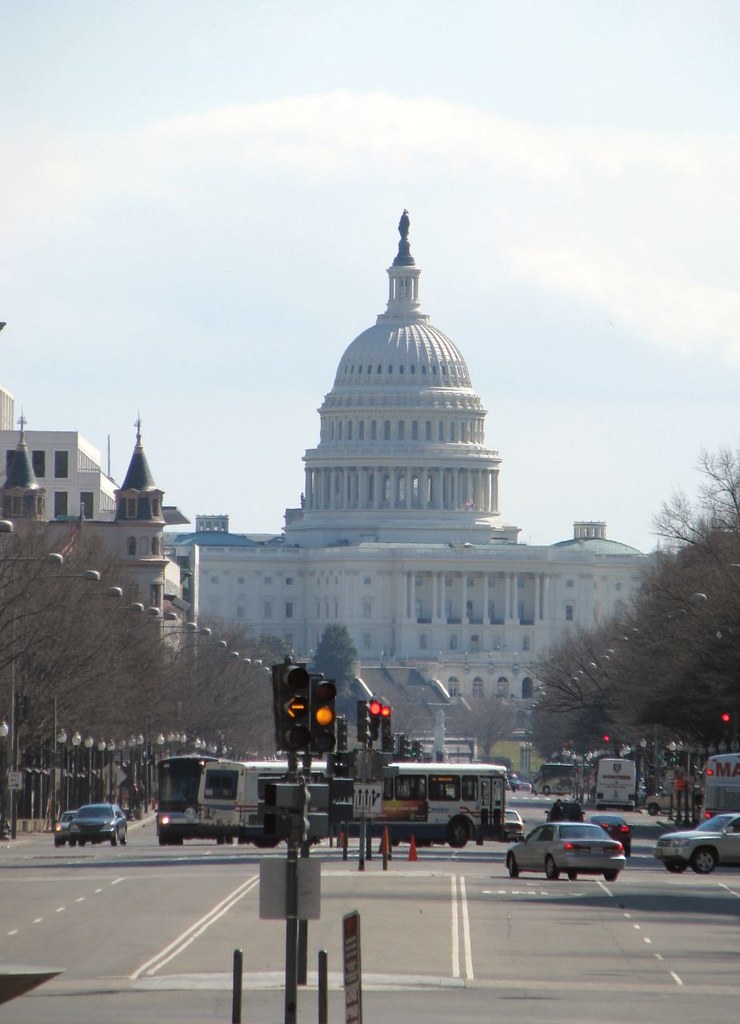
I’m about a week late, but I did notice when I went into Google Maps recently that the Washington, DC area has finally been added to Street View. I’d been grousing about it for awhile and thought it might never happen. This was a long time coming. Witnesses spotted the photo car in the District and environs as early as June 2007 and yet, month-after-month, I waited impatiently like a kid on Christmas morning. I remained unfulfilled.

Street View started appearing in second and third tier cities throughout 2008 while the entire Washington-Baltimore corridor remained a frustratingly empty void. Rumors circulated that it came at the request of the “government” for unspecified security concerns, a story repeated in Wikipedia’s Google Street View page (still there as of the time of this posting but likely to be edited out soon).
Absence of information led to nefarious conspiracy theories, but who knew or even cared if they were true. Certainly sensitive sites existed within the Nation’s Capital, but on every neighborhood street, every shopping center, every house of worship and every school? Now all is forgiven, for as of November 4, oh glorious day, whatever logjam existed has been removed. Street View has arrived in the greater Washington area.
I’m sure the blogs are abuzz with who can provide the most dramatic image of famous monuments and landmarks first. However, frankly, that’s not what Twelve Mile Circle is all about. You wouldn’t be reading this if you wanted to see yet another picture of the Washington Monument, right? Rather, I’ll feature some of the off-the-wall locations that have been covered in some of my previous postings.
The Highpoint in the Smallest Self-Governing County in the United States
- Featured in: Smallest County in the USA, Part 4
- Featured in: When Categories Collide!
The Out-of-Synch Street
- Featured in: Unusual Goes Very Local, Part I
The Chevron United Methodist Church
- Featured in: Our Lady of the Gas Pump
The Steele House
(Now torn down but it was there when the Street View car went by in 2007)
- Featured in: Unusual Goes Very Local, Part II
The Washington, DC Highpoint
(Not exactly, but as close as the road gets to it)
- Featured in: Washington DC Highpoint Dedication
The Last Phone Booth
(Now torn down too, sadly)

Leave a Reply