I was reminded recently, as I updated an old page, that not every U.S. state highpoint can be found on the summit of its parent landform. Boundaries don’t always follow geographic contours like rivers or ridges. Oftentimes segments are composed of straight lines determined by agreement or treaty or negotiation regardless of the underlying terrain. Sometimes, by random chance a state line crosses the shoulder of a mountain, and not its summit. Much more rarely, the line crossing at that spot will be the highest point of elevation in the state, while the higher-elevated mountain summit will be found in a neighboring state.
Connecticut

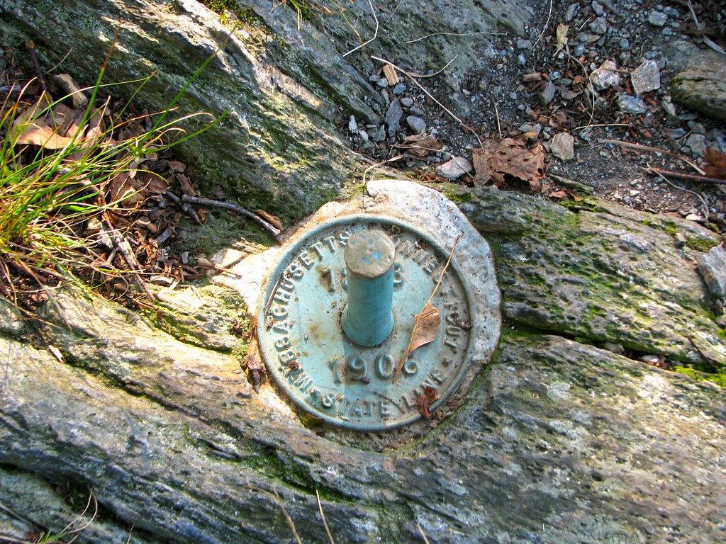
The most well-known example appears along the border between Connecticut and Massachusetts. Connecticut’s highpoint can be found at the far northwestern corner of the state (map), just a short walk from the CTMANY tripoint. As Summit Post described it,
Mt. Frissell’s southwest shoulder is the highest point in Connecticut at 2,380 feet [725 metres] above sea level. It is one of only three US state highpoints that are the highest point in a state but not technically the summit of the hill or mountain.
The highpoint is sometimes described as located on Mt. Frissell’s southwest shoulder, other times its southwest slope, and it’s an otherwise unremarkable outcrop. The nearby summit in Massachusetts rises a bit higher, to 2,454 feet (748 metres). I was fortunate enough to visit the state highpoint during the Connecticut Extremes trip in 2012. The diminutive green rod was marginally more exciting than the District of Columbia highpoint disc, and fell considerably short of New Jersey’s impressive highpoint tower. The scenery was nice, though.
What caught my eye was the reference to “three US state highpoints that are the highest point in a state but not technically the summit…” I thought I knew the second one. I had no idea about the third, and I’m still not convinced I confirmed it.
Oklahoma

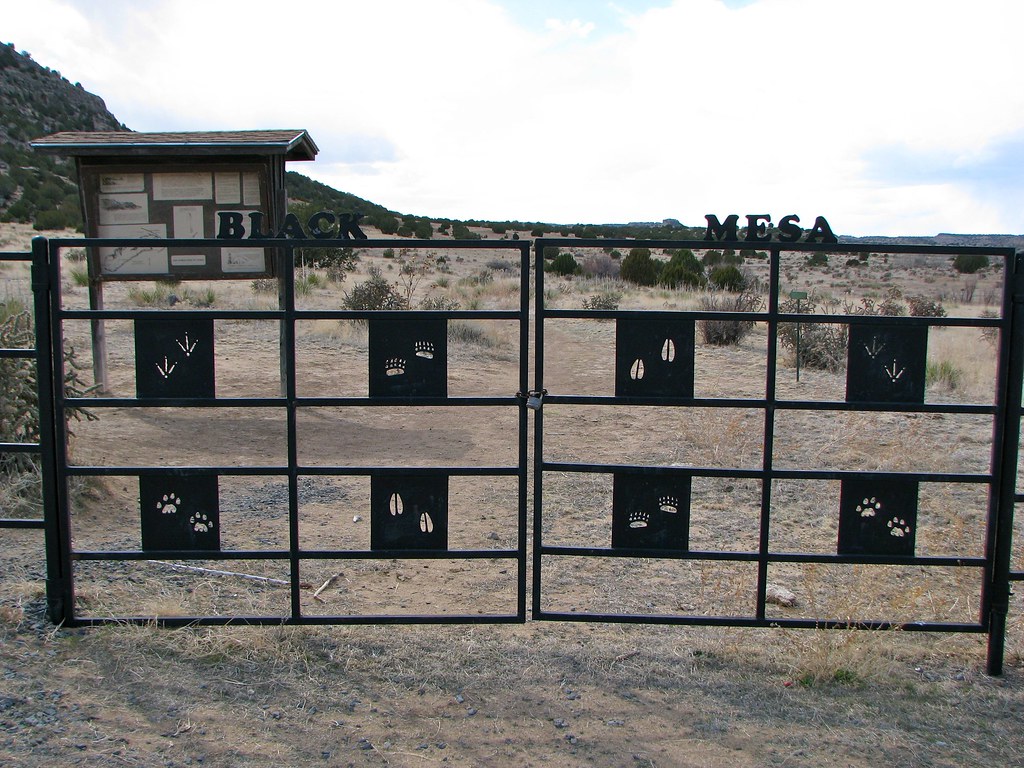
I was pretty sure about the status of Black Mesa (map), or at least I seemed to recall something about it when I researched the feature during my Dust Bowl trip. I never actually made it up to the Oklahoma highpoint though. That would have entailed effort. I got as close as the iron fence at the trailhead and opted for the nearby CONMOK tripoint and the fossilized dinosaur tracks instead.
Sure enough, Wikipedia mentioned Black Mesa’s unusual situation:
Its highest elevation is 5,712 feet (1,741 m) in Colorado. The highest point of Black Mesa within New Mexico is 5,266 feet (1,605 m). In northwestern Cimarron County, Oklahoma, Black Mesa reaches 4,973 feet (1,516 m), the highest point in the state of Oklahoma.
I don’t know if it makes sense to say that a mesa has a “summit” although whatever one calls its highest point, Black Mesa would have one located in Colorado. Even spots in New Mexico’s portion are higher than the Oklahoma highpoint. Thus, Oklahoma earned the dubious honor of having a highpoint located on a geographic feature with higher elevations in two neighboring states.
Nevada
Was Nevada the third state referenced by the claim? Maybe. Undoubtedly, its highest elevation is Boundary Peak. The controversy centers on whether Boundary Peak counts as a distinct summit or whether it’s merely a bump on the way to Montgomery Peak on the California side of the border. They’re twin peaks, with Boundary at 13,140 feet (4,005 m) and Montgomery at 13,441 feet (4097 m). I figure it has its own name — Boundary Peak — so I’m not sure it belongs on the same list as Mt. Frissell and Black Mesa.
Could some other state contain the remaining elusive highpoint that wasn’t a summit? I examined every state highpoint that fell near a border and couldn’t find another one. Perhaps I’m overlooking something obvious, in which case I’m sure the 12MC community will let me know.
I thought about repeating this exercise at the international level, and maybe someday I will. I started getting little frustrated with the U.S. state search and stopped for now.

Leave a Reply