If you’re driving along Indiana’s portion of Interstate 69, say from Evansville to Bloomington, you are going to cross a Time Zone boundary. It happens between Mile Markers 37.5 and 39.0, about forty minutes north of Evansville at normal highway speeds. But please note that the situation gets genuinely weird as you cross between zones because it happens twice!
I’ll make it easy for the 99.9% of you who don’t really care about the details:
- If you’re driving northbound (away from Evansville), going from Central Time into Eastern Time, set your coordinates to: 38.388245°, -87.336008°
- If you’re driving southbound (towards Evansville), going from Eastern Time into Central Time, set your coordinates to: 38.377346°, -87.344093°
You can stop reading now and return to driving if you like. Thanks for stopping by Twelve Mile Circle and enjoy the rest of your trip.
The Update
OK, so it’s just us geo-geeks who are still reading the page, right? Let’s take a dive into this truly bizarre time zone situation and understand what is actually happening there on the ground.
Maybe we should start with some background. Several years ago I developed a surprisingly successful map of Interstate Highway Time Zone Crossings that many people seemed to enjoy. I actually created it rather selfishly just for myself but it now has more than 16 million views on Google Maps. Too bad I never found a way to monetize it. Nonetheless, that’s kind of irrelevant.
Then, recently, I got a comment from Ed Szuba, who kindly pointed out an omission on my page. Quite simply, I failed to mention Indiana’s portion of Interstate 69 on my map. Well, as it turns out, that section of I-69 was still under construction when I created the original map and it didn’t technically exist. The final segment wasn’t competed until 2015. That was a legitimate excuse for my failure to reference it, but of course I wanted to add the section now for completeness. Easier said than done.
Finding the Boundary
It should be pretty straightforward because the change happens on the line between Pike County in the Eastern Time Zone and Gibson County in the Central Time Zone. Unfortunately it’s not that simple. The border follows the Patoka River which twists sharply right where Interstate 69 crosses through the area.
Thus, anyone driving north from Evansville will cross the Patoka River and enter Eastern Time, then cross the river again and enter Central Time, then cross the river once again and enter Eastern Time for good. This all happens in the space of about a mile on an elevated roadway called the Trooper William J. “Joe” Trees Memorial Bridge. Clearly, the opposite condition occurs while driving southbound.
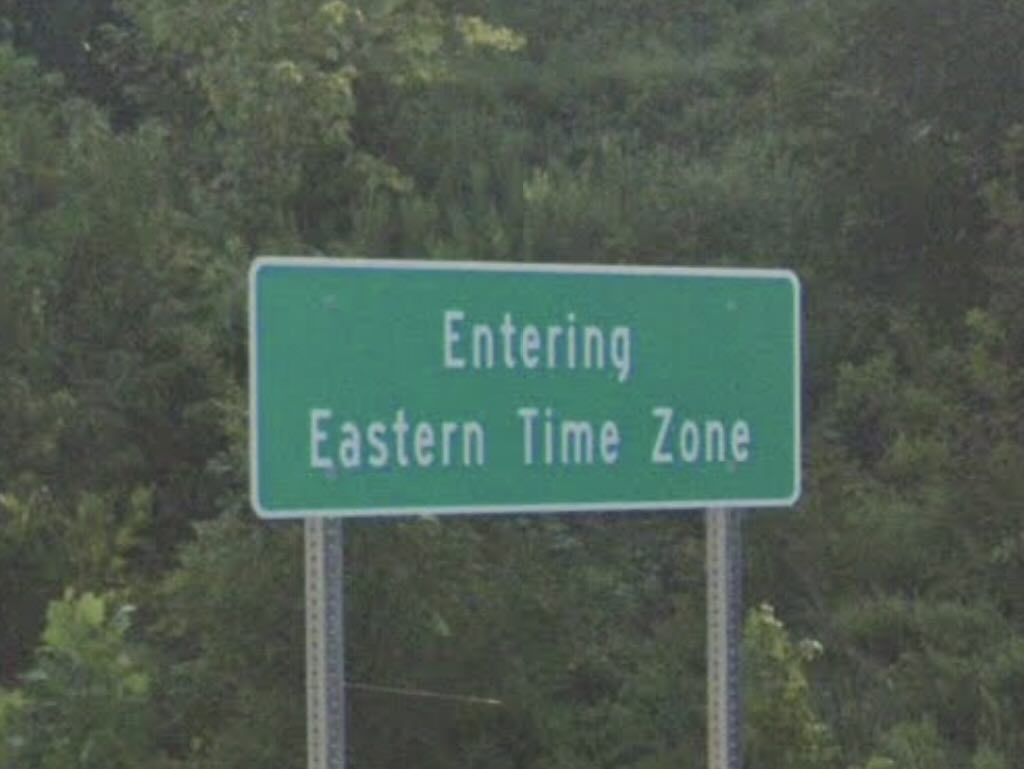
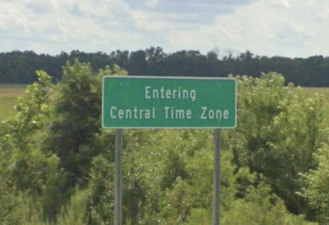
Time Zone signage completely ignores this complicated mess for obvious reason: accurate signage would create unnecessary confusion. An Eastern Time Zone sign appears at the northern end of the bridge and a Central Time Zone sign appears at the southern end, ignoring the corkscrew in the river. That’s why my Mile Marker estimate at the top of the page references such an odd range.
Northbound (going from Central to Eastern Time)

Driving on Interstate 69 northbound, the sequence goes:
- Mile 38.1: Enter Eastern Time for the first time
- Mile 38.4: Return to Central Time
- Mile 38.5: Enter Eastern Time for the second time
- Mile 38.8: Encounter the “Entering Eastern Time Zone” sign
Southbound (going from Eastern to Central Time)

Driving on Interstate 69 southbound, the sequence goes:
- Mile 38.5: Enter Central Time for the first time
- Mile 38.4: Return to Eastern Time
- Mile 38.1: Enter Central Time for the second time
- Mile 37.8: Encounter the “Entering Central Time Zone” sign
Notice that the two “Entering Time Zone” signs are a full mile apart. It wouldn’t make any sense to adjust the clock three times within a mile unless you’re truly obsessive, so just follow the signs. Or wait for your mobile phone to figure it out.
Now I’m going to have to return to this area and see it in person. I probably won’t change my watch three times but I’ll call out each time zone switch verbally because I know the real story. And now, so do you.

Leave a Reply