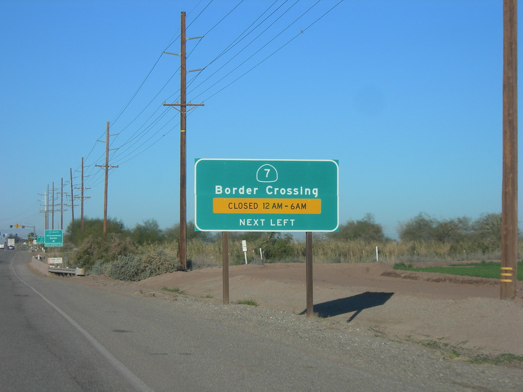
Things have settled down on Twelve Mile Circle after a brief weather disruption. I’m able to return to obscure United States border crossings.
This second part focuses on the southern border with Mexico. So I consulted the same source that I used when I explored Canadian border crossing facts, the U.S. Department of Transportation’s Bureau of Transportation Statistics and its Border Crossing/Entry Data website. Once again, following a process I developed earlier, I examined non-zero values across a variety of transportation types recorded by the U.S. government in 2011.
The most visible difference when comparing land crossings into Canada versus Mexico is the sheer number of ports of entry available. Canadians have many more options, albeit it’s a much longer border (5,525 miles/8,891 km vs. 1,969 mi/3,169 km). Also Canada has considerably fewer citizens than Mexico (34.8 million vs. 112.3 million).
Well, I could do some math but I’m feeling lazy. The quick point to realize is that the least significant border crossings into Canada are going to be significantly lonelier than the least significant border crossings into Mexico. Additionally more people cross the United States – Mexico border than any other controlled national border, with 350 million crossings per year.
Thus, I mention all of that to temper expectations. Results will not be as impressive as the previous set discussed. However, many will still be surprising.
Fewest Trains (7th place)
Otay Mesa, California/Tijuana, Baja California (map). Trains crossed from Mexico into the United States at only seven ports of entry. Of those, Otay Mesa was the least used, with 229 train crossings in 2011.
Three ports of entry serve the San Diego–Tijuana metropolitan area and Otay Mesa focuses primarily on commercial trucks. Most train traffic uses infrastructure that focuses on Texas, primarily Laredo, Eagle Pass and El Paso. The minor train traffic that crosses into California concentrates at Calexico East and Otay Mesa, both with 200-ish trains per year.
Fewest Train Passengers (3rd place)
Calexico East, California/Mexicali, Baja California (map). Like Otay Mesa, it’s designed primarily for commercial trucking.

So passenger trains are even less common than freight trains between the two nations. Thus, only three border crossings recorded any train passengers at all, with the fewest using Calexico East. Only 329 passengers crossed at Calexico East, nudging Otay Mesa’s 458. Even first place was pretty unimpressive: 2,836 at Nogales, Arizona. Then add them all together and it averages about ten train passengers per day crossing the border.
I like Calexico because it’s a portmanteau and so is its cross-border neighbor, creating abundant double geo-oddity goodness.
Fewest Trucks (20th place)

Lukeville, Arizona/Sonoyta, Sonora (map). Lukeville sits in the middle of nowhere:
“The community consists of the international border crossing into Sonoyta, Sonora, México, together with a gas station, a duty free shop, a few outlets that sell Mexican automobile insurance, and a terminal for buses that are bound for Phoenix and Tucson. It… is located entirely within Organ Pipe Cactus National Monument. Its population was approximately 35.”
I think Lukeville may exist as a crossing primarily because it fills a multi-hundred mile port of entry gap that would likely occur without it. But only 33 trucks crossed here in 2011. That’s understandable. It would be considerably more efficient for trucks to use existing highway infrastructure on both sides of the border instead of the minor roads that connect Lukeville to the outside world.
Contrast Lukeville’s 33 trucks with the most popular port of entry for trucks. Laredo, Texas processed 1.7 million border-crossing trucks.
Fewest Buses (21st place)
Andrade, California/Los Algodones, Baja California (map).

Well, only one lonely bus crossed at Andrade, California in 2011. It’s part of the larger Calexico/Mexicali area so it’s overshadowed by the Calexico and Calexico East ports of entry, which are served by robust road networks.
Andrade has the distinction of being Mexico’s northernmost border crossing. It’s surprisingly north, on the same approximate latitude as Charleston, South Carolina. Seriously. They’re both at around 32.72° north.
Fewest Pedestrians (25th place)
Sasabe, Arizona/Sasabe, Sonora.

Look at the bleak, empty expanse of Sonoran Desert served by the Sasabe port of entry (map). So given that, it’s amazing that even 1,016 pedestrians crossed here. It works out to about three per day.
I would imagine those traveling on foot are limited primarily to traffic between the two border towns. Otherwise I’d fear a life-threatening situation could result. This is by far the lowest pedestrian count of any U.S. border crossing with Mexico. The next lowest crossing accommodates greater than 40 thousand. The highest is San Ysidro, California with 8.5 million pedestrian arriving from Tijuana.
Fewest Personal Vehicles (25th place)
Sasabe, Arizona/Sasabe, Sonora.
Sasabe wins again, with only 15,071 passenger vehicles. It’s not too hard to imagine that situation when one considers a description of its primary road, Arizona State Route 286: “Although it has a port of entry into Sasabe, Mexico, only dirt roads lead south of this location.”

Leave a Reply