I looked at the Emerald Isle and noticed an anomaly. Northern Ireland comes very close to separating the tip of the Republic of Ireland from the remainder of its body. The neck constricts to perhaps as few as ten kilometres at its narrowest point between the border and the sea.
It’s even shorter if we look at the width of available land. Here, Lough Melvin compresses any overland passage to only about six or seven kilometres. Even so, it’s unobstructed countryside with many different paths available through the neck to make it a relatively simple transit.
Ballyshannon

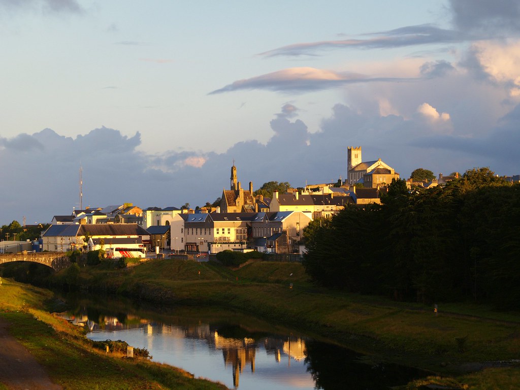
A much more remarkable situation exists a little further north in Ballyshannon, the so-called “Oldest Town in Ireland.” Here the River Erne flows from Northern Ireland, crosses the entirety of the narrow neck, and empties into the Atlantic Ocean.
The River Erne creates a water barrier that separates the tip from the remainder of the nation. As a practical matter there are bridges, boats, aircraft, and innumerable other ways to solve this problem. It’s not even that large of a river. Someone could probably swim or wade across it without too much difficulty. However let’s ignore those very realistic possibilities. Instead, suspend our disbelief for a moment, cross our eyes, wave our magic wand and try to have some fun with this.
Looking Closer
Consulting the maps, the overland path through the neck appears to constrict to the width of a couple of roadways. They connect Ballyshannon and points beyond to the rest of the Republic of Ireland directly. One is a local street (Main St.) and one is a highway (N15). Those are the only choices if someone wishes to take an automotive trek through the neck without leaving the country.

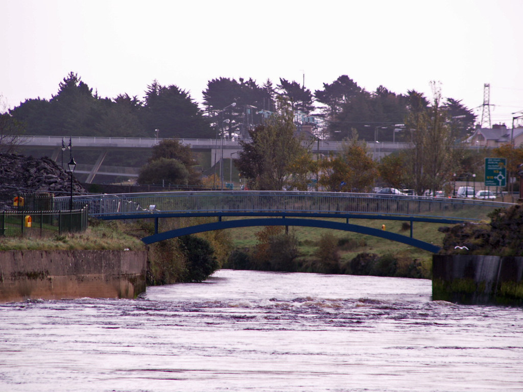
However, another option exists for those on foot, a really cool pedestrian bridge in Ballyshannon that crosses the River Erne. I’m not sure what it connects or why it’s altogether necessary. It looks to be less than a quarter-mile from the Main Street crossing but I suppose that it could make a meaningful difference to someone on foot. There are a several apartment buildings nearby so maybe it’s a nice shortcut between various sections of town.
A dam also crosses the river just east of Ballyshannon to create Assaroe Lake. Workers at the hydroelectric power station might be able to cross here on foot. Nonetheless, I don’t think that would be feasible for members of the general public. I imagine the authorities would consider that a safety risk or a security violation.
In conclusion, I discovered only three easy paths across the River Erne under ordinary circumstances within the boundaries of the Republic of Ireland. Two are large enough for motor vehicles and one is accessible only by foot. That assumes a traveler doesn’t have routine access to a boat, helicopter, pole vault, or other extenuating means of movement.
Near Miss
I found one more “almost” crossing point where the River Erne flows across the border from Northern Ireland. There is a bridge located immediately to the west but the border hugs the northern riverbank along a short segment here. Thus the bridge crosses an international boundary. It’s interesting to note, however, that people from Northern Ireland can use this bridge as a shortcut, clipping a corner of the Republic of Ireland, and avoid a detour of several miles (map)
Random Tangent
Long-time reader Steve of CTMQ recently completed a visit to the CTMARI Tripoint. Check out his thorough trip report. He’s also recently discovered a state government website that shows the exact location of every Connecticut boundary marker in tremendous detail. Steve doesn’t think he’ll visit all 374 markers. However, we should expect to see upcoming trip reports on some of the more fascinating ones. I’ve been trying to turn him into a County Counter so far to no avail, but he seems to be moving closer-and-closer.

Leave a Reply