Twelve Mile Circle is always up for a good challenge. So, loyal reader Greg laid-down the gauntlet yesterday in the friendliest way possible. He commented on Largest Artificial Islands:
“A more common phenomenon, surely, must be islands joined to a mainland by landfill. So what about the opposite of this post, the largest former islands?“
Naturally, I became completely fixated. The original article I planned for this evening will just have to wait a couple of days while I focus my energy on this all-important question.
Some Rules
First I established the ground rules. I assumed any landfill joining an island to the mainland would have to be man-made to keep it within the spirit of the previous article. Otherwise 12MC’s article on tombolos could be a nice starting point. Alternately I could flag the ephemeral islands of the now desiccated Aral Sea.
Second I assumed that “former island” meant that the original landmass still existed albeit as part of a larger landmass. If one took “largest former island” too literally, one might consider islands that sank below the surface of the sea.(¹) I didn’t want to deal with that.
Third, I discarded bridges, causeways and tunnels. The island had to be substantially integrated within the surrounding terrain. It required something more than a dirt trail, a ribbon of asphalt or a set of tracks. Otherwise I’d point to the Chunnel, make Great Britain part of Continental Europe and call it a day.
This challenge proved much more difficult than I imagined. I had trouble crafting effective search queries that eliminated false positives and faux connections, particularly those pesky bridges and causeways. I found that variations on “land reclamation” were the most powerful queries. However, they created so many results that it was difficult to separate legitimate island wheat from the greater preponderance of mainland chaff. Given that, one should not be surprised by examples I found in areas with significant land reclamation projects.
I also couldn’t determine a “largest” former island because sites tended to focus less on the before situation and more on the after. Whining aside, I still found some good examples.
The Netherlands
I discovered a wonderful before and after map of land reclamation in the Netherlands. The image didn’t have a Creative Commons license so you’ll need to open the link to view it if you’re curious. Flevopolder, mentioned in my previous article, remains an island. I won’t consider it again. Nonetheless, notice that there were numerous islands in earlier days that became part of the mainland over the centuries.
Various Former Colonial Outposts in Asia

Singapore, Hong Kong and Macau all experienced significant land reclamation efforts. Some even focused on growing island sizes, or by joining islands to other islands, and so forth. The reason was simple. The territories had only so much room and they were bursting at the seams with people. They could only grow up and out.
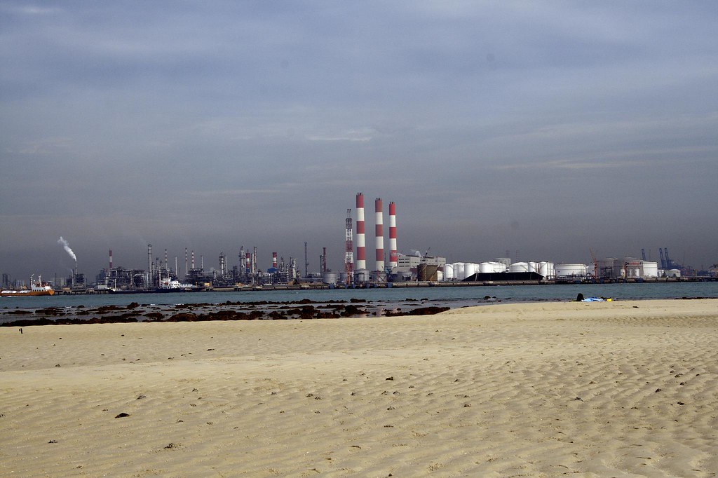
Singapore’s Jurong Island (map) served as a case study. It remains an island so that could be a drawback. However Jurong had a much more interesting backstory, [link no longer available] “formed from the amalgamation of seven small islands into a world-class chemicals hub… home to more than 94 leading petroleum, petrochemical, specialty chemical and supporting companies.”
Yes, it used to be seven islands. They joined them, all together: “From the 9.91 km² land area of the original seven islets, as of completion of the land reclamation on September 25, 2009 Jurong Island currently has a total land area of 30 km².”
China
China went overboard with island absorption during its recent economic boom. The country may need to take it down a notch. China Daily reported: “Connecting uninhabited islands to mainland by reclaiming land must be strictly restricted. The islands must be protected, and they should be prevented from disappearing, says … the [State Oceanic Administration of China’s] official website.”

I did some digging and found an example. Bingzhou Island became Bingzhou Peninsula connected to Xiamen’s Tong’an District on northwestern Dongzui Bay. Referencing a photo caption in Wikimedia Commons, reclamation continues to take place on the western side of Bingzhou in the proximity of the Tong’an Bridge. That was as of 25 February 2012 according to the caption. Apparently maps available online haven’t yet caught-up to geographic reality because Bingzhou continued to be represented as an island (map).
The United States

I had to find an example from the United States of course, and I discovered a good one. Coney Island, anyone (map)?
It seems odd that everyone calls Coney Island an island, even though it’s not an island. That’s because it used to be an island. Technically I guess it remains an island although part of the much larger landmass known as Long Island. Nonetheless Coney Island was once an actual standalone island and today it is not. People have long memories though. The name still corresponds to its previous geographic configuration.
I don’t think I scored particularly well attempting to find the largest island attached to the mainland artificially, although maybe this was a start. People claim that Wikipedia has an article on everything. Apparently it does not. Maybe this exercise will serve as inspiration to one of 12MC’s several Wikipedians.
Thanks for the challenge, Greg!
12MC Loves Footnotes!
(¹)READ THIS FOOTNOTE AT YOUR PERIL. It’s too bad I ignored sunken islands because I found Slut’s Bush near Cape Cod, Massachusetts. I thought this had to be a joke entry, however, the article provided links to a couple of much older sources. Now I’m almost afraid of the search engine hits I’ll have to endure.

Leave a Reply