Longtime readers of Twelve Mile Circle already know that I have a thing for lighthouses among numerous other counting-related quirks. I might have gone overboard on the recent trip to Cape Cod, however. That wasn’t my intent. It seemed as if lighthouses appeared every time I turned around, and the next thing I knew I’d photographed fourteen of them. In my defense it was a particularly lovely stretch of coastline, combining rocky shores, towering bluffs and lots of little towns that grew lighthouses in abundance. Lighthouses don’t appeal to everyone so readers should feel free to skip to the next article or simply scan through the pretty pictures and ignore the text if so inclined. I won’t take it personally.
Boston Light & Graves Light Station

I blamed it on my visit to Fort Revere Park in Hull where I noticed this wonderful alignment of the Boston Light (map) and the Graves Light Station (map) at the entrance to Boston Harbor. Boston was blessed with a wonderful natural harbor although it came at a price, an unfortunate array of dangerous navigational obstacles including islets, shoals and ledges. Even the most skilled navigators needed additional assistance to avoid shipwrecking disasters.
The Boston Light — in the foreground — was one of the earliest such structures built in the United States, first lit in 1783. It was also the last one automated, 1998, and actively staffed by US Coast Guard personnel. The website Lighthouse Friends described the Boston Light as the “ideal American Lighthouse” for its wonderful placement and appearance. The Graves Light Station on the Graves Shelf — in the background — was an added bonus from this particular vantage.
Duxbury Pier Lighthouse

I severely tested the telephoto capabilities on my camera with the Duxbury Pier Lighthouse in Plymouth Harbor (map). The lighthouse was so far away that the image seemed to resemble an Impressionist painting more than a photograph. I couldn’t imagine anyone living on the Duxbury light back when people used to do that, confined solely to a small room with a circular balcony around its perimeter. Nonetheless, someone needed to staff that light to protect mariners from the deadly shoal at Saquish Head. It must have required a special kind of character to willingly endure that level of confinement and isolation.
The local name for this lighthouse was the “Bug Light” although it didn’t appear to resemble a bug to me. It was also the first light built in a style that came to be known as the sparkplug design, a resemblance that seemed more appropriate.
Nauset Light

I found myself with an entire day to explore Cape Cod National Seashore as I drove up to Provincetown. The Nauset Light stood above one of the most popular beaches within the seashore so I wondered if it might be crowded. I arrived at the lighthouse (map) at a huge parking lot with an unmanned toll gate, completely vacated, the reward once again for traveling slightly off-season.
This wasn’t the original location. The cliff below Nauset Light continued to erode until it imperiled its foundation. The Coast Guard didn’t plan to preserve Nauset Light because it wasn’t needed anymore. Local residents rallied and funded its relocation farther inland in 1996. That was a much better solution.
Three Sisters Lighthouses

The Three Sisters Lighthouses (map) were said to resemble three women in white dresses and black bonnets, and stood maybe another quarter-mile farther inland from Nauset Light so visiting was easy. The Three Sisters were older structures, having been replaced by Nauset in the 1920’s. They had also been moved farther away from the cliff as it eroded. A marker (photo) explained their history and the reason for such an unusual number of structures on a single spot.
“These lights, which replaced brick towers, were part of a network along the treacherous and busy Cape Cod. Ships approaching the southern Cape saw the stationary beams of the twin Chatham Lighthouses. The Three Sisters’ triple light configuration told sailors that they had reached the Cape’s mid-point. Sailors knew they were nearing the Cape’s tip when they saw the single flashing beam of the Highland Light.”
Eventually lighthouses were given distinctive flashing patterns so multiple towers were no longer necessary.
Highland Light

My timing guaranteed smaller crowds although there was a downside to that strategy. The Highland Lighthouse wouldn’t open for another week. I could still enjoy the grounds that surrounded it though (map). This was the tallest lighthouse on Cape Cod (66 feet / 20 metres) and continued to serve as an active navigational aid. Like some of the others, it had been moved away from a crumbling cliff in the 1990’s. Apparently one shouldn’t build too close to the eastern shore of Cape Cod.
Highland Lighthouse had one additional historical footnote: Henry David Thoreau, famed as the author of Walden, used to enjoy visiting here in the 1850’s and even wrote an article about his experiences.
“Over this bare highland the wind has full sweep. Even in July it blows the wings over the heads of the young turkeys, which do not know enough to head against it; and in gales the doors and windows are blown in, and you must hold on to the light-house to prevent being blown into the Atlantic. They who merely keep out on the beach in a storm in the winter are sometimes rewarded by the Humane Society. If you would feel the full force of a tempest, take up your residence on the top of Mount Washington, or at the Highland Light in Truro.”
Wood End Lighthouse

The Wood End Light (map) was the only site that involved any meaningful effort during my journey. I’d spied it from the top of the Pilgrim Monument the previous day. It looked like it might be feasible so I went for a walk early the next morning to see if I could reach it. I stepped carefully across the harbor breakwater, then onto the sand of Provincetown Spit and along a rugged path to the lighthouse itself. During my jaunt I never saw another person. I stopped for a few moments, took photos and walked back. The stroll lasted about an hour each way.
Wood End marked the southernmost point on the Cape Cod hook for approaching mariners. I didn’t make it to the very farthest eastern tip though, a place called Long Point that also featured a lighthouse. That was simply too far for this particular trip. Maybe next time.
Brant Point Light

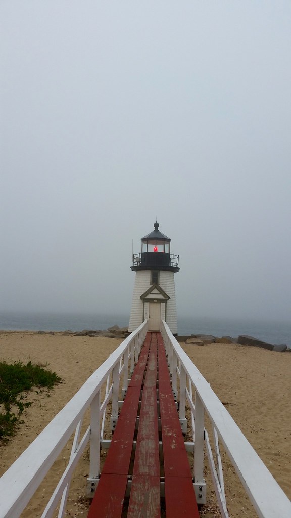
We left Cape Cod and then headed offshore, first to the island of Nantucket. It was cold and foggy. We’d spent the afternoon at Cisco Brewers a few miles outside of town, bicycling there for an afternoon of live music and beer sampling, then loaded a growler onto a bike for our ride back to town. Somehow we thought it might be a good idea to wander out to Brant Point Lighthouse (map) later that evening. There might have been some alcohol involved. It wasn’t a particularly daunting walk, certainly much easier than my earlier trip to Wood End, just that wiser minds may have remained indoors near a fireplace or something on such a dreary evening.
Hyannis Harbor Lighthouse

I didn’t have much to add about the lighthouse at Hyannis Harbor (map). Apparently it was built around 1849 and it’s privately owned. We passed the light four separate times on ferry rides to and from Nantucket and Martha’s Vineyard so I felt obliged to take a photo.
Edgartown Lighthouse

I really went lighthouse crazy on Martha’s Vineyard. Sites were too far apart for bicycling so we rented a car for the day.
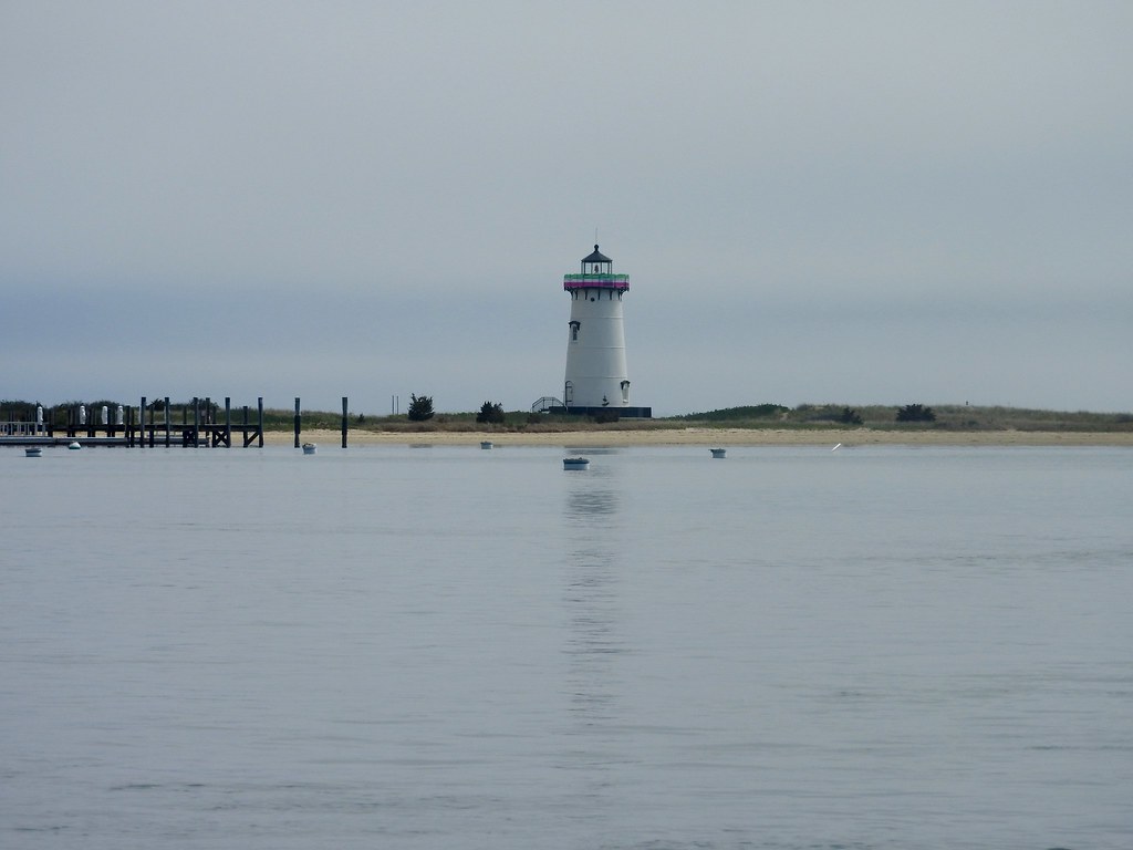
Three of the lights were stewarded by the Martha’s Vineyard Museum including the Edgartown Lighthouse (map). It was right on the edge of Edgartown, thus the name. The museum decorated the lighthouse for special occasions. Ribbons around lantern room during our trip marked Pink and Green weekend; a “celebration of Spring and Mother’s Day”
Gay Head Light

I will attempt to be the first site on the Intertubes to refrain from make a joke at the expense of Gay Head Light in Aquinnah (map). The weather had been wonderful all day except for this far western corner of Martha’s Vineyard. I could barely see the lighthouse. In fact I had to move much closer than I expected simply to take a photo. Unfortunately I couldn’t get any closer because Gay Head Light was in the process of being moved. Sound familiar? Here, just like many of the sites on Cape Cod, eroding cliffs threatened the very existence of an historic structure.
West Chop Light

Other lighthouses stood on Martha Vineyard’s northern shores near Vineyard Haven. The West Chop Light (map) was an active navigational aid. It also included a lighthouse keeper’s quarters that continued to serve as a home for people posted at the Menemsha Coast Guard Station located elsewhere on the island. Access was pretty limited for that reason.
Compare this to the image of Gay Head Light and notice the weather conditions. That was the stark difference between separate parts of the island on the same afternoon.
East Chop Light

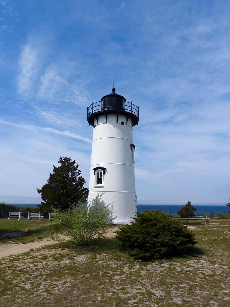
However if there was a West Chop Light it made sense that there would also be an East Chop Light (map). That one was located within a small park overlooking the ocean. The lighthouse itself was closed at the time although we could relax on the benches along the bluff and enjoy the view.
Newport Harbor Light

Finally — and I am as relieved as the audience to get to the last one — I spotted a lighthouse in Newport, Rhode Island completely unexpectedly. This was the Newport Harbor Light, also sometimes called the Goat Island Light (map). It was built in 1842 and automated in 1963. I didn’t check on it much beyond noting how nice it looked sitting in the harbor.

Leave a Reply