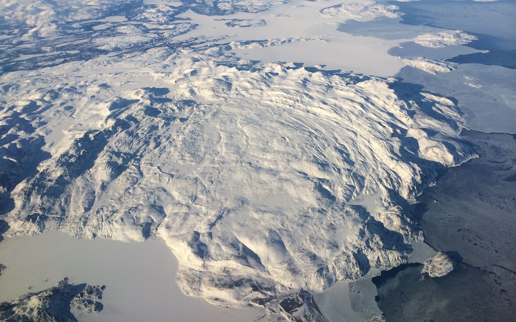
Sometime I come across the most interesting topics while researching other topics, as was the case when I investigated the Labrador Boundary Dispute recently. That thread led me to the unusual significance of Killiniq Island in northeastern Canada.
Killiniq Island is very small. It’s only about 13 X 29 kilomteres (8 X 18 miles). It sits off the northern tip of the Labrador Peninsula in a horribly remote location. Dangerous tides and currents make it difficult to reach, as does the jagged, rocky shoreline. The weather is extreme. The name translates to something like “ice flows” or “drift ice” (depending on the source consulted). Nobody lives here. In other words, there should be nothing remarkable about this spot. So why am I even bothering to mention it?
Confluence

As a chunk of rock, Killiniq Island may not be remarkable, but it happens to stand at the confluence of a host of different man-made and geographic focal points and dividing lines.
- The island became the northern anchor point for the boundary between Québec and Newfoundland during their protracted border dispute, about the only thing the two could agree upon as they pursued their respective claims to the Labrador Peninsula. The island was considered integral to the Peninsula even though technically it is separated from the mainland by the treacherous McLelan Strait.
- The final boundary fixed on the flow of water across the landscape. Drainage to the Atlantic belonged to Newfoundland. On Killiniq Island, this is the Eastern end of the island, known as Cape Chidley (or Chudleigh). Thus the northern continental divide, separating the Arctic Ocean watershed (in this case via Ungava Bay and the Hudson Strait) and the Atlantic Ocean watershed, cuts straight through Killiniq. Here the continental divide also happens to reach its northern terminus.
- The western portion of Killiniq Island, the piece originally in Québec, now resides within Nunavut. The tiny sliver of border running through the island is the only land boundary between Nunavut and the province of Newfoundland & Labrador. It is the southeastern tip of Nunavut and the northernmost point of Newfoundland & Labrador.
- Additionally, Cape Chidley marks the southern terminus of the Hudson Strait.
- And if that’s not enough, the Torngat mountain range running northward up the Labrador Coast, terminates here too.
So a lot of different features begin and end right here on this tiny speck.
Port Burwell
The island used to be inhabited. A town called Port Burwell (not to be confused with a town by the same name in Ontario) traced back to an 1884 meteorological station, followed by a Moravian mission, a Hudson’s Bay Company trading post, and finally an Inuit co-operative. All inhabitants were relocated in the 1970’s and the town has since been demolished.
But don’t bother doing a Google search on Port Burwell, Nunavut, though. You’ll find lots of hits for supposed jobs, birthdays, singles and vacation rentals here – which obviously do not exist since neither does the town – thanks to the link farms trying to use false information to generate hits for their nefarious purposes.

Leave a Reply