My favorite inspiration, the random one-time visitor, struck again. Honestly I don’t know why any of them land on Twelve Mile Circle. This time the person wondered about the world’s largest artificial island. Repeat after me: search for “Wikipedia Largest Artificial Island.” Why come to 12MC when Wikipedia has a wonderful answer already prepared? I don’t get it. Just skip my humble little spot and go somewhere useful.
However, something weird happened as I started researching this topic yesterday evening. The wiki page changed when I toggled back to it. That was the first time someone edited a page in real time just as I consulted it, in all the years I’ve used Wikipedia. Freaky. Has anyone else experienced that?
I’m glad, because I didn’t like the way Wikipedia organized the page before the editor made his or her strategic change. I have a very specific (and arguably false) preconception of what constitutes an artificial island. Someone should have to dump a bunch of rocks and dirt into the water, and voilà, a man-made isle rises from the depths.
The best answers are…
René-Levasseur Island

I have absolutely no doubt that René-Levasseur Island in Québec, Canada is a fascinating place in its own right (map). Imagine the meteor that punched into the earth more than two hundred million years ago to form its neatly circular shape. It doesn’t even bother me that the island looks like Ringworm, although I still can’t imagine why anyone would post their fungal infection on Flickr.

The island is a massive 2,020 km² (780 mi²). By comparison the U.S. District of Columbia is 159 km² (61.4 mi²) so René-Levasseur is nearly thirteen Washington DC’s. Currently Canada protects the area as Réserve écologique Louis-Babel, with the possibility of upgrading it to a National Park.
This is all great stuff, so why did the island bother me? Well, because it was the creation of a dam that forced two crescent-shaped lakes to join together, completing the circle. That wasn’t an island formed by dumping stone and dirt into the water, it was caused by flooding a valley.
I agree with the recent creation of Wikipedia’s “Largest artificial islands reclaimed on water according to their size” category as a separate and distinct entity to distinguish them from René-Levasseur.
Flevopolder

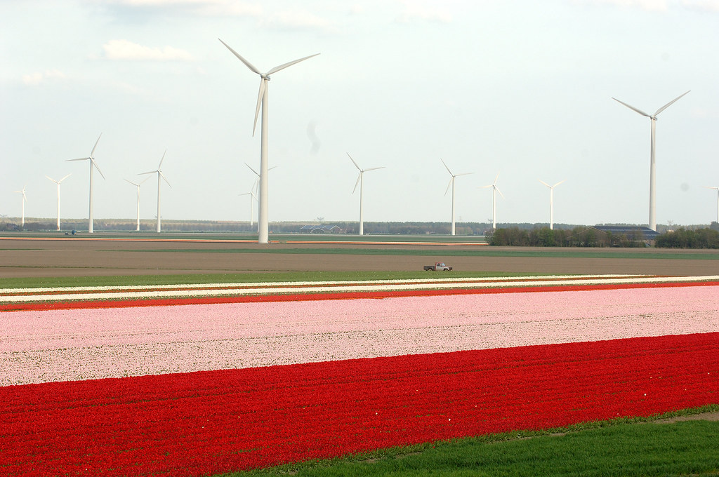
Flevopolder (map) in the Netherlands topped the Reclaimed on Water list at 970 km² (375 mi²). This island forms part of Flevoland, the Netherland’s newest province that earned this distinction in 1986. According to Amsterdam.info,
“It is only in 1918 that the Dutch Parliament passed the law deciding to turn part of the Ijsellmeer bay into the land… The Dutch call such an artificially created area of land lying lower than the level of water a “polder”… In fact, Flevoland consists of three polders. Only Noord-Oost Polder is connected to the mainland; East and South Flevoland are still an island on the IJsselmeer divided from the mainland by the narrow strip of water…”
The same source warned that long, flat stretches on Flevopolder encourage inadvertent speeding and to be careful of police speed traps.
The Netherlands created Flevopolder by draining water to reclaim land so that’s not quite what I was looking for, either.
Yas Island
I don’t know what to make of Yas Island (map) in Abu Dhabi in the United Arab Emirates. It looked kind-of like someone dug a canal in the mudflats and called it an island. I’d guess they needed to add fill dirt to stabilize the island and prepare it for intensive construction, so we’re getting closer to my ideal.
Yas measured only 25 km² (9.7 mi²) so that’s a crazy quick drop in size from Flevopolder. I had to wonder if perhaps Wikipedia might be missing a bunch of candidates somewhere between Flevopolder and Yas.

However I have to give credit to Yas Island for the Yas Marina Circuit, home to the “Formula 1™ Etihad Airways Abu Dhabi Grand Prix.” I believe I can crown Yas as the largest artificial island with a Formula 1™ race track unless there are any objections. Funny, I never thought about Formula 1™ as a trademark until I saw repeated references to Formula 1™.
Kansai International Airport

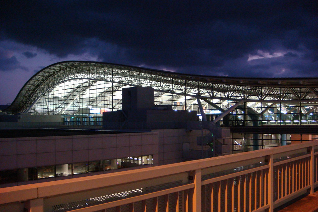
Thank you, Kansai International Airport. Now that fit my idea of a truly artificial island. Just look at it on a map, a totally, absolutely, unambiguously man made structure plopped in the middle of Osaka Bay in Japan. It required an amazing construction effort before it finally opened in 1994.
This one was my personal favorite even if hit only 10.5 km² (4.1 mi²), even after its 2007 expansion.
I also learned that it was very difficult to use the Intertubes to discover alternate answers. Claims were easily made and just as easily discredited. For example, the famous Palm Islands in Dubai? They certainly qualified as artificial although they actually formed an archipelago composed of multiple islands. I wanted island (singular) not islands (plural). However the core islands of Palm Jebel Ali and Palm Jumeirah still managed to push into the Top 10. That didn’t make them the “world’s largest” though.
The largest example I found in the United States was Harbor Island in Seattle, Washington, “built from 24 million yards of earth from the dredge spoils of the Duwamish River and the soil of Jackson Hill and Dearborn Street re-grades” It stands at 1.61 km² (397 acres) which is impressive although hardly world qualifying. Can anyone top that for a U.S. record?

Leave a Reply