Library of Congress’ Waldseemüller Map

Reuters reports that the only remaining copy of the map that first used the label “America” will go on permanent display at the Library of Congress in Washington, DC (map). Martin Waldseemüller created the map in 1507 and it displayed unusual accuracy for its time. However, experts haven’t figured out exactly how Waldseemüller may have drafted it.
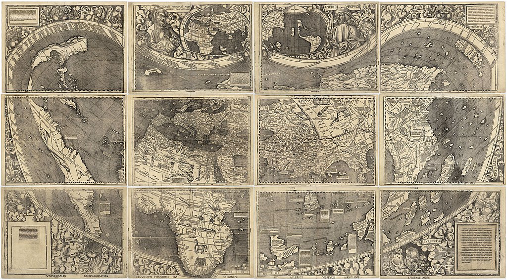
Waldseemuller map 2. Map by Martin Waldseemüller, Public domain, via Wikimedia Commons

The Library of Congress sits right across the street from the United States Capitol building. Additionally, its includes an acclaimed Geography and Map Reading Room. This houses one of the largest collections of maps, atlases and globes in the world. They often rotate exhibits through their foyer on the basement level of the James Madison Building.

Comments

Leave a Reply

Your email address will not be published. Required fields are marked *

Latest Comments

  1. But Yugoslavia was not part of the Soviet bloc, so the border between Slovenia and Croatia had nothing to do…

  2. Indiana has signs for entering/leaving counties. The signs for this county crossing also only placed once rather than three times,…

  3. I am in La Libertad, El Salvador. Was absolutely astonished to see the sun rise at one end of the…

  4. Thank you for this information. I was searching “closest distance between towns of opposite elevations” and reveals zero results, at…

  5. I agree with a two mile run with admission proceeds go to the local Hancock schools in maryland doing it…