I examined several border crossings between South Africa and its neighbors that are available in Google Street View in the previous installment of this series. This time I move back across the Atlantic Ocean to North America, examining similar situations in Mexico where there is actually much greater image coverage.
United States
There are numerous crossings recorded by Street View between Mexico and the United States. I selected one of the more obscure examples, Puerto Palomas in Chihuahua. Naturally I could have chosen a livelier location but it came to mind because of my recent article about Pancho Villa and his invasion of Columbus, New Mexico. This is where he would have left Mexico on his unsuccessful raid of the American town and its garrison. I found it frustrating that Street View didn’t replicate Villa’s route. It stopped here on the Mexican side leaving one to wonder about the topography of his path beyond the border.
This visual perspective faces away from the border crossing which is immediately to the rear, and grants a panoramic view of a quiet Mexican community. Puerto Palomas lures customers across the boundary like any good border town. Poking about, I noticed a density of pharmacies, opticians and dental offices located conveniently near this sanctioned breach in the wall. Cut-rate medicines and dental services are attractive to those on the other side of the line. The residents of Puerto Palomas are happy to accommodate.
Other examples along the U.S. Border

Additionally, I found many other sites of interest along the Mexican border with the United States. These only scratch the surface:
- The crossing at Tijuana is remarkable for its huge mess of traffic trying to pass into San Ysidro / San Diego, California. I would never want to wait in that awful queue.
- The separation between Mexicali and Calexico, California is so distinct that it practically slaps one in the face. Can you find the border?!?
- I spent considerable time wandering through the amazing graffiti on a border wall in Nogales. I suppose it’s nicer to gaze upon imaginative artwork all day than stare at a stark unwelcoming wall.
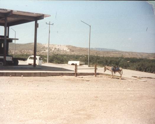
- My semi-legal (now legal again) crossing point at Boquillas del Carmen still lacks Street View coverage. That’s unfortunate. I was hoping to take a nostalgic look.
Please feel free to post comments about other curiosities you encounter.
Guatemala
I noticed a completely different dynamic at a crossing between the Mexican state of Chiapas and Guatemala. It seemed much more like the Street View images of border stations in South Africa than anything I’d observed on the northern edge of Mexico. Again, the image looks away from the border and back into Mexico. Notice the vendor stalls that line the street, an enormous outdoor market that seems to be the size of a full city block completely stuffed with all manner of shops and restaurants. I imagine there’s a lot more going on than cheap medical services unlike its northern cousin.
Belize
Sadly, Street View doesn’t deliver us to a Mexican border with Belize. It comes very close but then stops just a bit short of our goal. The best we can do is to catch a fleeting glimpse of Belize from across the water at Chetumal. We will have to be content with this scene until the Street View car returns and completes its journey.
[UPDATE: It now goes up to the border]

Leave a Reply