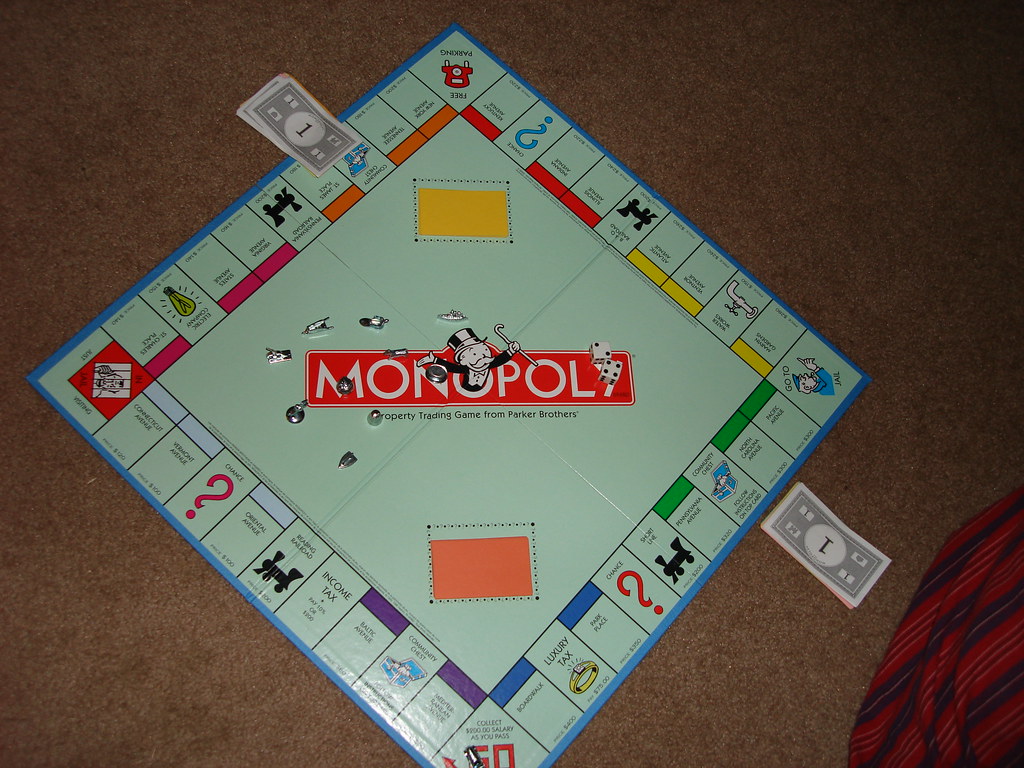
I think I’ve always known that the game of Monopoly was based on street names in Atlantic City, New Jersey. It goes back to the earliest days of my geo-geekdom, a useless nugget that I latched onto so long ago that I don’t know when or where I learned it. Monopoly was the first board game I remember playing. And I played it a lot in those faraway years before electronic screens dominated childhood entertainment.

I’ve never been to Atlantic City, though. I didn’t have any conception of how the board squares corresponded to the street grid. I was pretty sure the streets wouldn’t form the improbable pattern of the game but I’d hoped there might be some logic to it. So I decided to place them on a real-world grid to find out.
I tried to replicate the colors used in the game.
- Brown (think it was more purple when I was a kid): Mediterranean Ave; Baltic Ave
- Light Blue: Oriental Ave; Vermont Ave; Connecticut Ave
- Plum: St. Charles Pl; States Ave; Virginia Ave
- Orange: St. James Ave, Tennessee Ave, New York Ave
- Red: Kentucky Ave; Indiana Ave; Illinois Ave
- Yellow: Atlantic Ave; Ventnor Ave; Marvin Gardens
- Green: Pacific Ave; North Carolina Ave; Pennsylvania Ave
- Blue: Park Place; Boardwalk
Indeed, I do see a logical layout. Streets that are grouped by color in the game fall in close proximity to each other on the map in a tidy manner. Most of the streets run perpendicular to the shore. However a few of them run parallel, forming a nice checkerboard.
Origins
Monopoly traces to the earliest days of the 20th Century in a direct line back to something called The Landlord’s Game. That early ancestor caught on in a very limited sense. Then small clusters of people began to create offshoots and variations. One version adapted by Charles Darrow incorporated the Atlantic City theme. He was once considered the creator of Monopoly until researchers connected all the dots and followed them back to the Landlord’s Game.
Nonetheless, Darrow copyrighted Monopoly in 1933 and sold it to Parker Brothers in 1935. It became an overnight success. Parker Brothers licensed international versions almost immediately which included alternate street names, with London becoming perhaps the best example.
Parker Brothers also realized there were similar games and offshoots with a common ancestor. They began buying up patents and copyrights until they created a monopoly on the game Monopoly. It’s quite fascinating and complicated so feel free to peruse the Wikipedia page if this topic interests you.
Anomalies
I noticed a few anomalies as I plotted the streets on Atlantic City’s grid.
The yellow group stands out. Atlantic Avenue, one of the yellow streets, contributes to the checkerboard. However, Ventnor Avenue and Marvin Gardens are considerably removed from the rest of the action. Marvin Gardens is doubly unusual. It’s not even a street, it’s a neighborhood!
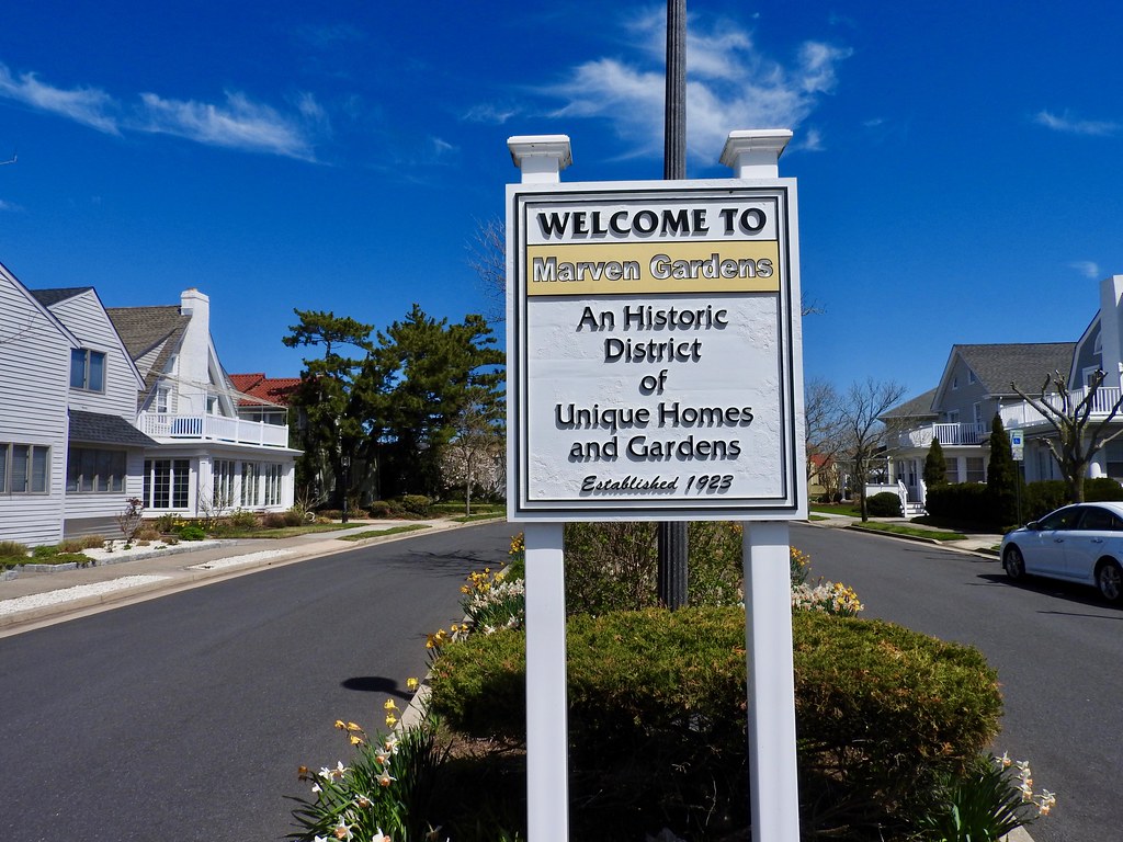
This is as close as we can get to Marven Gardens in Google Street view. That’s not a typographical error. The neighborhood sits between MARgate City and VENtnor City, so MAR + VEN = MARVEN. You all know how much I love a good portmanteau! It was written wrong on a version prior to Darrow’s effort, and he dutifully replicated the mistake.
UPDATE: I visited Marven Gardens in 2019. Here’s evidence:

Some of the streets have gone through changes since the 1930’s. Illinois Avenue is now Dr. Martin Luther King Jr. Boulevard. The Showboat Casino and Hotel obliterated the block where St. Charles place once ran. The southernmost block of Pennsylvania Avenue is Danny Thomas Boulevard.
Additionally, Boardwalk isn’t a street it’s, well, literally a boardwalk. Certainly it’s one of the oldest boardwalks in existence (1870’s) and arguable the most famous because of Monopoly and the Miss America beauty pageant, and possibly even the world’s longest according to some sources. It stretches four miles plus another mile and a half when combined with the adjoining Ventnor City boardwalk. I’m not completely convinced it’s the longest though. Plenty of others make the same claim.

Leave a Reply