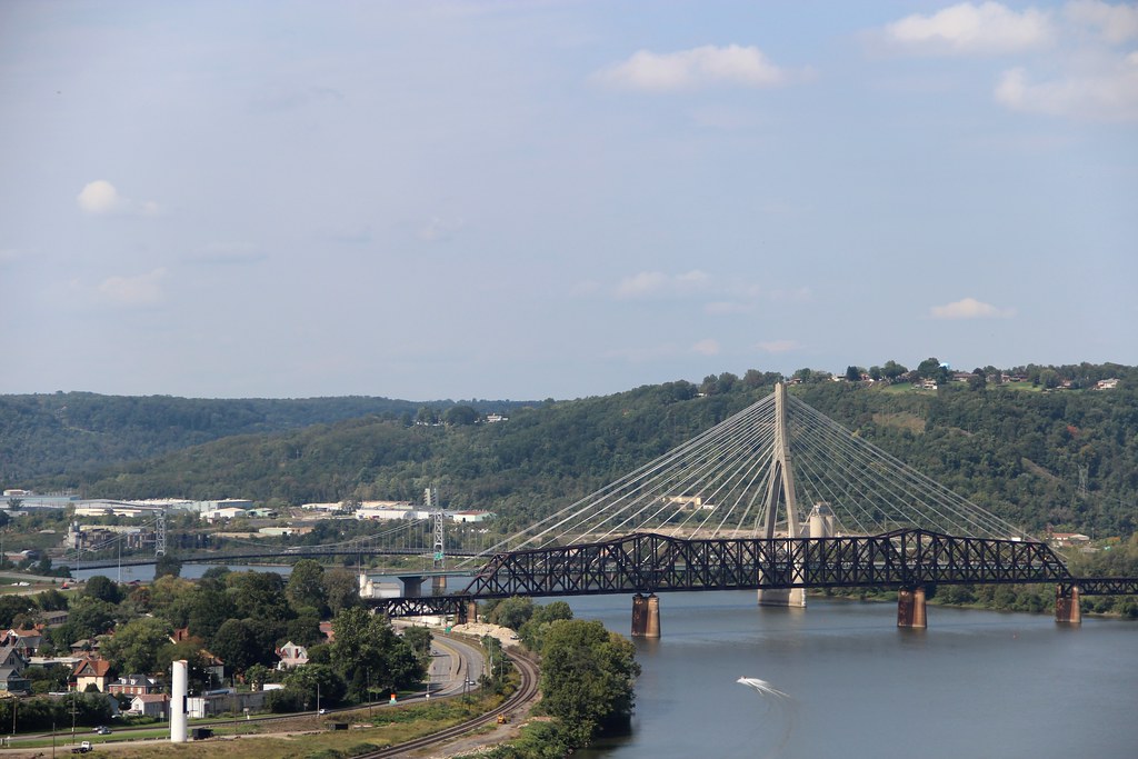
Anyone looking at a West Virginia map would immediately notice its northern panhandle. It rose high above the rest of the state like a flagpole. This narrow splinter ran 64 miles (103 kilometres) due north, wedged tightly between Ohio and Pennsylvania. Its width also narrowed sometimes to only 4 miles (6 km).

Four counties occupied the space; Hancock, Brooke, Ohio and Marshall. They all aligned in a vertical sequence.
Boundary Dispute
How could such a bizarre situation develop? Certainly no rational government would create such an anomaly. The usual situation existed here, the overlapping of colonial claims. Nobody really knew what existed beyond the coast. Various Kings of England simply granted a bunch of royal charters.
So Virginia gained a territory that went all the way to the Pacific Ocean. Meanwhile, the charter for Pennsylvania set its farthest extent at an unexplored longitude 5 degrees west of the Delaware River. The overlap became apparent when explorers pushed inward through the Appalachian Mountains decades later. Fort Pitt, built by the British in 1759 during the French and Indian War, fell within the disputed area. Both colonies coveted Pittsburgh, the town that formed there.
Virginia established a county structure despite the overlap. Of course, Pennsylvania refused to accept it. The dispute even continued into the Revolutionary War. The Second Continental Congress convinced the two to settle their dispute and concentrate on fighting the British instead. Pennsylvania had settled a similar problem with Maryland previously, creating the Mason & Dixon Line. The border between Pennsylvania and Virginia would extend that same line a bit farther, to five degrees west of the Delaware River. From there, they drew a line north to the Ohio River. Both sides approved the new border in 1780.
After the war, several of the former colonies including Virginia continued to claim land west of the Ohio River. Most gave up their claims voluntarily for the good of the new nation. Virginia ceded its Northwest Territory after some cajoling, and Congress accepted its offer in 1784. Virginia’s western border became the Ohio River and this created the odd panhandle. Nobody intended to form the anomaly. It was a two-step process.
Birth of West Virginia

Then came the Civil War and Virginia joined the Confederacy. Many of its western counties wanted to form their own state even before the war began. They jumped at an opportunity to remain on the Union side. The state of West Virginia was born in 1863. Interestingly the initial West Virginia capital fell within that unusual northern panhandle. They formed their new government in the Federal Custom House in Wheeling (map), now called West Virginia’s Independence Hall. Wheeling remained its capital for most of the next twenty years.
Rise of Industry

The Northern Panhandle became a center of commerce and industry after the Civil War. It had a great location along the Ohio River. It also had more in common with industrial cities like nearby Pittsburgh, Youngstown and Cleveland. Factories rose to serve many needs. The biggest ones produced iron and steel, and Weirton Steel became the biggest of the bunch. It would operate for nearly a century until International Steel Group bought it in 2004. Then the area fell onto hard times like many other so-called Rust Belt cities. For example, the city of Weirton lost a third of its population starting at the middle of the 20th Century. The city of Wheeling lost more than half of its population.
Cultural Distinctiveness

The northern panhandle mirrored the states that wedged it in place. It differed distinctly from the remainder of West Virginia.
“… many people moved to Weirton and Wheeling which both had reputations for being excellent places to work. Immigrants moved into the area in the early 1900’s because of employment offered by the steel mills… By some counts, there are 50 ethnic groups in Weirton alone.”
This included large communities of people from Eastern and Southern Europe like its neighbors. The U.S. Census bureau even included the two northernmost counties, Hancock and Brook, within the Pittsburgh Combined Statistical Area.
Of course, I also like this oddity because it created funny geographic names. How about the West Virginia Northern Community College?

Leave a Reply