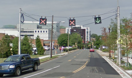
It dawned on me recently, as I drove around the Washington, DC area, that there seemed to be an inordinate number of reversible road lanes that switched directions on regular schedules. The example that got me thinking about this was a one-block section of Washington Boulevard (map) on the western edge of Arlington’s Clarendon neighborhood.

I’ve driven through that slot a number of times and I never gave it much of a second thought. It seemed rather self-explanatory. Overhead lights with green arrows and red x’s denoted lanes that could be traversed depending on prevailing morning or evening traffic patterns. It made sense even if it lasted for such a short distance. It was the only three lane segment with four lanes radiating from either end. So it saved on construction costs.
The variety of different types of reversible lanes also surprised me as I started ticking-off some nearby examples.
Overhead Lights

The Chesapeake Bay Bridge (map) connecting Maryland’s eastern shore to the rest of the state provided yet another example of overhead lights signaling traffic flow. The bridge accommodated prevailing traffic to and from Atlantic Ocean resorts especially during the summertime. More lanes opened towards the beach on Fridays and pointed back towards home on Sundays, almost like the ebb and flow of tides.
However, overhead lights exposed an inherit problem: people needed to understand that lanes could reverse and they also needed to know what the symbols meant. “Stupid Young Driver on Cell Phone” had obvious difficulties with one or both of those concepts.
Just a Sign

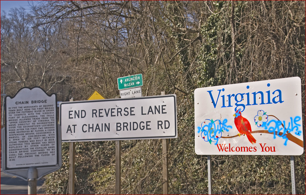
Chain Bridge (map) had three lanes stretching across the Potomac River between Arlington and Washington, with the middle lane reversible. Only a single sign told motorists about the unusual situation (Street View). Presumably daily commuters traveling over the bridge during critical hours would already understand the situation. Woe to the poor visitor who happened to cross the bridge at an inopportune time and not see the sign.
A Machine Does All the Work

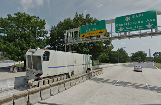
Another Potomac River bridge between Arlington and Washington, the Theodore Roosevelt Bridge (map) offered a better solution. The reversible section had a concrete barrier to prevent drivers from making a horrible mistake. An odd little machine moved the barrier twice a day to accommodate commuters. This unusual arrangement was created by Lindsay Transportation Solutions.
“The moveable barrier system enables the DOT to quickly reconfigure traffic lanes and directional capacity on the bridge in less than 15 minutes (the bridge is just under one mile in length). The Barrier Transfer Machine (BTM) safely transfers the barrier one or two traffic lanes at speeds from seven to ten miles per hour. A magnetic tape grooved into the pavement guides the BTM and ensures precise placement of the barrier wall.”
That seemed a lot safer than signs or overhead lights.
Completely Reversible with a Sign

Some of our local roads are completely reversible. The Rock Creek Parkway (map) — actually called the Rock Creek and Potomac Parkway in official terms, which I didn’t know until a few minutes ago — operated with two lanes in both directions most of the time. However in the morning all four lanes headed towards Washington and all four lanes returned traffic to the suburbs in the evening. Monday through Friday. Except Federal holidays. Make an error reading a sign and find oneself heading towards the wrong way on a four-lane highway.
I would stay away from here on Columbus Day. Federal government employees are about the only people who get the day off. Imagine everyone else forgetting about that quirk and thinking it was a normal Monday commute. Yikes!
Completely Reversible and Safer

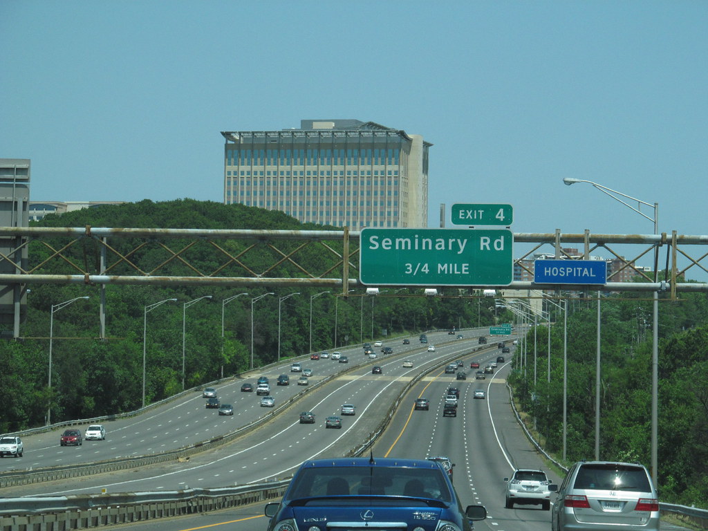
A stretch of Interstate 95 and Interstate 395 (map) from Northern Virginia into the District featured two High Occupancy Vehicle (HOV) lanes that switched directions for the morning and evening commutes, sandwiched between and completely separate from the regular highway lanes. These are being converted into High Occupancy/Toll (HOT) lanes although the concept will remain largely the same.
These seemed considerably safer. Barrier arms blocked access to ramps that led to these special lanes so that cars traveling in the “wrong” direction couldn’t make a mistake. The arms raised when the lanes reversed and it was safe to travel that direction again.
There were several more reversible lanes in the area that I didn’t have space to mention. Also Wikipedia had an entire article devoted to reversible lanes in other parts of the world so I imagined they were rather prevalent. It was funny how I’ve grown so used to seeing them that I never considered how weird they seemed.

Leave a Reply