Pico, The Azores (Açores), Portugal (March 2001)

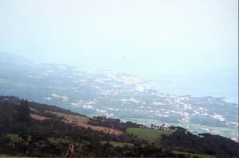
São Roque do Pico (map) appeared in the distance from the cross-island road. This photograph gives a good perspective of the steep descent from the interior. Then, down below, towns could be observed on the relatively flat coastal plain. Of course, this placement also offered excellent oceanfront access.
São Roque do Pico is the principal town on the island’s north central coast. Various roads converged from several directions, demonstrating the historic importance of the town and its docks. Heading west led to the airport and to Madalena. East led to many small coastal towns along the farther ends of the island. Finally, south led across the spine of the island to the most significant southern town, Lajes do Pico.
The Volcano

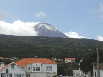
Ultimately, you never fully escape the shadow of the mountain for long. We watched a layer of clouds slam into the cone of the volcano as we stood on the docks of São Roque do Pico.
Changing Weather

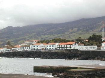
Within a few minutes, the clouds enveloped higher elevations and began to roll downhill. It completely covered the ridge behind São Roque do Pico in a gray blanket. However, it never descended all the way to sea level. Soon it blew around this volcanic obstacle and continued onward across open water. Then sunlight returned to Pico’s northern coast.
Religion

Next we stopped at one particularly inspirational church during our walk through town. We marveled at the craftsmanship that went into the artistic and architectural details. Clearly it demonstrated the importance of religion and devotion to the people who inhabit Pico.
Articles in The Azores Series
- Index of All Islands Visited
- The Island of Pico

Leave a Reply