There was a time in the early days of Twelve Mile Circle when I used to devote entire articles to differences in distances that didn’t seem plausible, although of course the actual measurements didn’t lie. For example, sticking with the Twelve theme, the twelfth article I ever posted on 12MC all the way back in November 2007 dealt with a whole list of state capitals located closer to southwestern Virginia than to its own capital in Richmond. I loved those little counterintuitive notions although I haven’t posted any in a long time probably because they’re kind-of mindless.
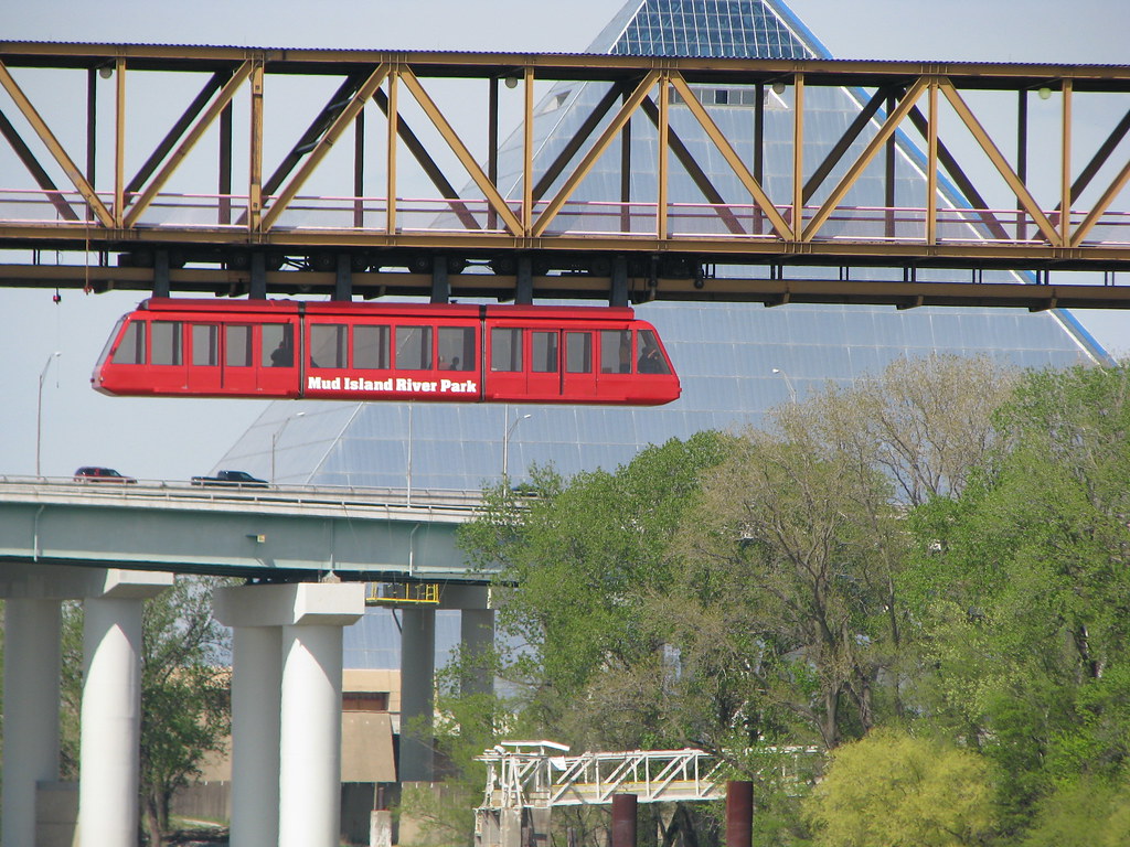
I recalled some of my Riverboat Adventures the other day while speaking with some friends and remarking how crazy-long it took to drive across the entire length of Tennessee. We drove through only two states on the way back, Tennessee and Virginia, and it took something like thirteen hours. That prompted me to hit the maps and resurrect the long-neglected theme.
Driving from Memphis

The Tennessee leg of our return followed Interstate highways from Memphis to Bristol, specifically I-40 and I-81. I used one of my favorite mapping tools to create a circle around Memphis that extended to Bristol. That’s where the fun began. Memphis was closer to Oklahoma City, Dallas, New Orleans or Kansas City than it was to Bristol. It was even closer to Davenport, Iowa!
Two could play at that game so I created a similar circle around Bristol extending to Memphis. Bristol was closer to Detroit and Jacksonville than it was to Memphis, and about the same distance to Chicago or Philadelphia.
Back in Virginia

I then drew some latitudes, returning my focus to the Commonwealth of Virginia. I noticed that there were parts of Africa farther north than parts of Virginia. Then I let that rattle around in by brain for awhile. Sure the overlap wasn’t much although definitely factual. Algiers and Tunis on the African continent were farther north than Danville and Suffolk in Virginia.
Dueling Portlands

Again with the latitudes, I compared Portland, Oregon with Portland, Maine. It reminded me of a quote in a guest post that Marc Alifanz contributed to 12MC in March 2011, Geo-Oddities of Portland, Oregon:
“Portland was originally founded by Asa Lovejoy from Boston, Massachusetts and Francis W. Pettygrove of Portland, Maine. Each wanted to name the new town after their place of origin. They flipped a coin, and Portland won. It’s probably a good thing it worked out that way, because two Bostons of very large size would have created more confusion than big Portland, OR and littler Portland, ME do now.”
That was an interesting aside, although referring back to the latitudes, Portland in Oregon is actually farther north than Portland in Maine. That seemed odd because Maine bordered Canada and Oregon had an entire state (Washington) between it and Canada. Yet, that’s what the line revealed.
And speaking of Portland, Maine, I drew another circle and examined the results. Portland Maine was closer to Caracas, Venezuela than to Portland, Oregon.
A Canadian Example

All of the results seemed astonishing to me even though I recognized that a lot of this had to do with my very specific geographic perspective. I doubt the measurements and observations had anywhere near the same impact for people living elsewhere. So I tried an example in Canada. St. John’s, Newfoundland and Labrador was closer to: Bratislava Slovakia; Murmansk, Russia; Cayenne, French Guiana; or anywhere in Western Sahara as it turned out than it was to Vancouver, British Columbia.
Similar observations could be made about the distance between Vladivostok and Moscow, Russia, I supposed. Ditto for Sydney and Perth, Australia. Have fun and let me know the most counterintuitive observation you discover.

Leave a Reply