The races we ran on successive mornings were now a distant memory. On this final full day we slept-in and focused on a full slate of roadside amusements instead. We only had to make it to Atlanta to catch our flight the following morning.
This time we concentrated on the Georgia side of the tripoint area as we wound our way down from Asheville, North Carolina. This map wasn’t our exact route — we took small detours for some new counties as we approached Atlanta — although it’s a fair approximation.
This also marked the first time I’ve ever crossed the physical border between North Carolina and Georgia. There aren’t a whole lot of places to do that because the line runs through a pretty remote corner of the Great Smokey Mountains. I guess I should go back to my Border Crossing map at some point and update it since I’ve now “completed” both states according to this obscure measure.
Foxfire Museum

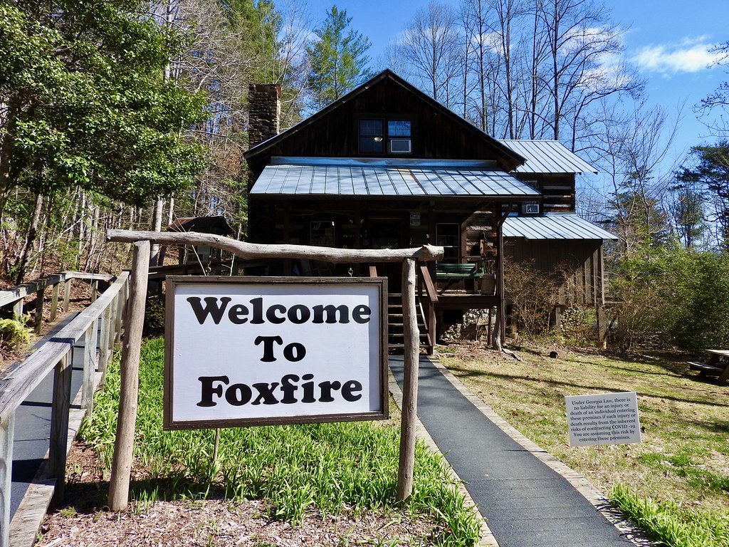
Students at Rabun Gap-Nacoochee School in far northeastern Georgia published a quarterly magazine in the 1960’s called Foxfire. They hoped to record an Appalachian culture that was quickly fading even then. Writers fanned out to speak with elderly local residents willing to sit down for interviews or live demonstrations. The project became quite popular and it led to a number of bestselling books. Profits funded a museum and additional archival efforts.
Foxfire Museum continues it mission more than a half-century later in Rabun County (map). The site preserves numerous working-class structures from surrounding Appalachian settlements. Many of them also hold exhibits showing traditional country life. For example, a weaver with a loom demonstrated her craft on the day we visited. The state of preservation was much higher here than what we noticed at the Frontier Village Historic Site in Fort Gaines a few days earlier. I guess that’s the difference book royalties make.
Currahee Brewing

Then we noticed it was getting towards lunchtime. We grabbed something to go from Chick-fil-A® and headed over to the Currahee Brewing Company in Clayton (map). We sat at one of the picnic tables out front on this fine spring day, and enjoyed our meal with a flight of small-pour beers. It wasn’t crowded at all on a random Monday outside of tourist season. We pretty much had the place to ourselves except for a handful of regulars hanging out at the bar.
Goats on the Roof

This all led up to what I wanted to see the most: Goats on the Roof! It was a kitschy throwback to attractions once common before the rise of Interstate highways. I felt like I’d been transported back to the golden age of road travel, an era that declined long before I was born.
Literally, it was goats on a roof, a simple gimmick enticing travelers on U.S. Route 23 to stop, gawk and leave some cash behind at the store (map). This was a touristy standout in a touristy area and I heard a toddler proclaim, “This is the best Goats on the Roof day ever! It’s the goatiest!” I couldn’t agree more young man, indeed it was the goatiest. I’ve never experienced anything goatier.
Tallulah Gorge State Park

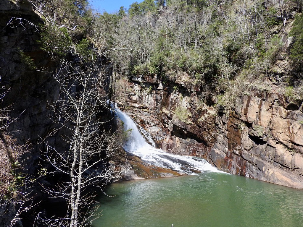
But let’s get back to nature, I figured. Tallulah Gorge State Park awaited just a few miles farther down the road (map). We picked up a helpful brochure as we entered the park that suggested itineraries based on how much time people had to visit. Of course we didn’t have much at all so we selected the one-hour option.
The guide suggested an out-and-back to the suspension bridge overlooking Hurricane Falls and then down to the canyon floor. That involved a series of stairways with about 500 individual steps. Then we had to walk back up! The views were absolutely stunning, although I’d by lying if I didn’t say I felt it in my legs after that hard run the previous morning. You can watch my video for a better view of the falls.
There’s a little something for the geo-geeks here too. The river straddles the Rabun / Habersham County border. That allows hikers on the suspension bridge to stand in both counties at the same time. Thus my first entry into Habersham County was on foot (although I drove entirely through it after I left the park and continued south).
The whole area between Foxfire and Tallulah Gorge stretched maybe only 20-25 miles. I’d love to return someday and spend a long weekend. The tiny amount of time available to us barely scratched the surface.
Dipsy the Cow

Then the drive switched to straight-up county counting. I didn’t want to leave behind any unsightly doughnut holes between here and Atlanta. So there wasn’t much left to do except tack between waypoints and tally county borders along the way.
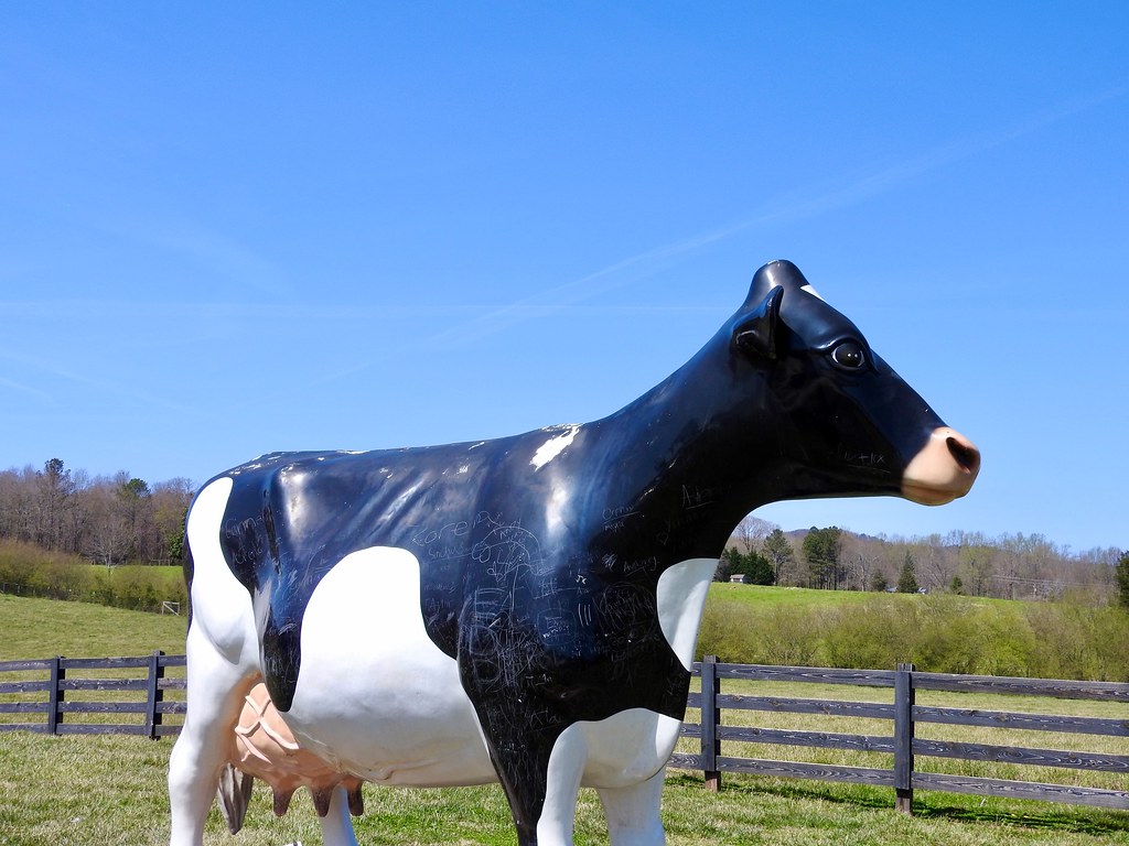
Still we found additional amusements as we drove. For instance, we encountered another giant cow pretty similar to the one we saw in Columbus, Georgia on the first day of the trip. There’s nothing like roadside symmetry bracketing both ends of our journey; it started with a giant cow and ended with a giant cow.
Dispsy the Cow stood outside of Mountain Fresh Creamery in Clermont (map). I figured, while in Georgia I might as well have peaches. A peach milkshake worked just fine for me that afternoon.
The Finish Line

Eventually we rolled back into Atlanta, our journey nearing its completion. We still had a little left in us though and we had family to see. Over the years, some of my family on the Mississippi Gulf Coast has begun to migrate to Atlanta for job opportunities and urban amenities. So this would be a good opportunity to catch up.
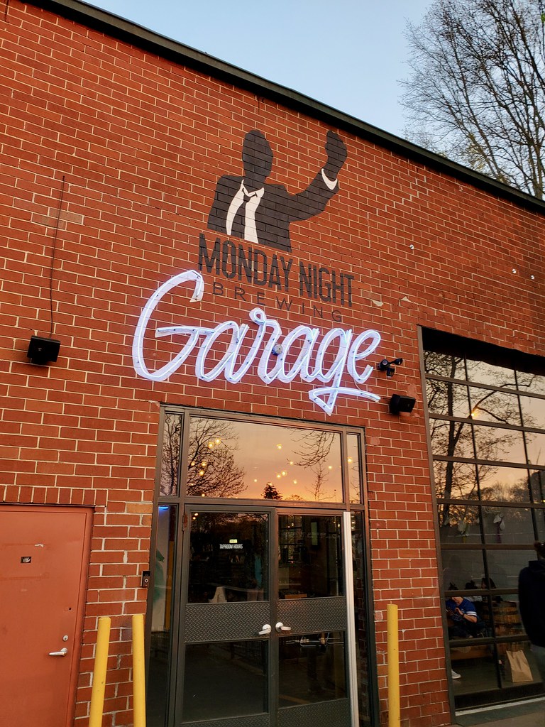
There are a ton of breweries to choose from in Atlanta and I wanted to finish our trip with a good one. Just about every list suggested Monday Night Brewing and that seemed like a natural choice. Their Garage, which focuses on barrel-aging and souring, sat in the historic West End (map), a location convenient for the people we wanted to see. We had a nice mini-family reunion there.
Then we had an 8:00 am flight back to Virginia the next day so we called it an early evening. Another fine adventure came to an end.
Articles in the Southern Hills Series
See Also: The Complete Photo Album on Flickr.

Leave a Reply