Continuing on the theme from the previous post, I have another example of a very local anomaly in Arlington County, Virginia. Hopefully you will enjoy this one too. I encourage you to check around your neighborhood and see if you can find your own strange situations. I’d be glad to feature any that you might uncover.
Arlington County addresses are divided into North and South. Generally speaking, the dividing line is Arlington Boulevard, or U.S. Route 50. Anything north of Route 50 has a north Arlington street address. Anything south of Route 50 has a south Arlington street address except for this one little chunk near the Potomac River.
The Radnor Heights neighborhood serves as a capstone atop Fort Myer and Arlington National Cemetery. It is clearly south of Route 50. Yet, look closely at the map and you’ll see streets with names like North Nash St., North 14th St., etc.
So what happened here? Did urban planning run amok? Actually, no. Arlington Boulevard wasn’t finished when the county developed its new street naming and numbering scheme in the mid-1930’s. Planners guessed where the last segment of Route 50 might go and designated the streets accordingly. They should get credit for being close. However, road crews constructed the actual segment just to the north. This left Radnor Heights with its “northern” addresses stranded on the southern side.
OK, so why should anyone care?

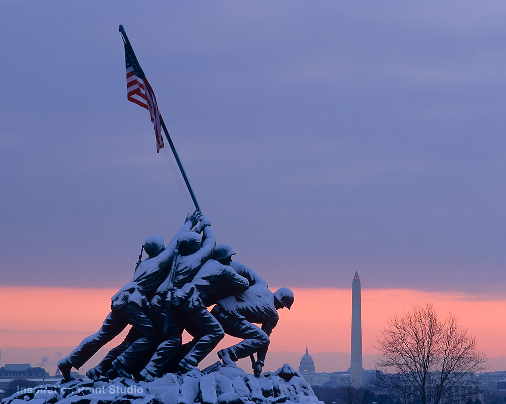
Because if you’ve ever been a tourist in Washington, DC you’ve probably stood in this actual anomaly and never knew it. The Marine Corps War Memorial, often called the “Iwo Jima” memorial, resides neatly within its boundaries. The next time you’re there be sure to pay your proper respects to the people who keep our nation free. Then turn to someone next to you and say,
“Did you know that you’re standing in the only part of North Arlington that is south of Route 50?”
Things Get Personal

I visited this area for a different purpose a couple of years ago. My genealogy research took me to the home of Charles and Marie (Howder) Steele who lived at what is now 1509 N. 12th Street. They and their six daughters shared this house in the early 1930’s. The Steeles didn’t know they were living within an anomaly. Back then, it was still “Whipple Street” and the anomaly didn’t exist. And if by chance they had known they probably wouldn’t have cared. It takes an odd, er… discriminating individual to appreciate a nuance of this subtlety.
[UPDATE: A developer tore down the house sometime around 2008; it remained an empty lot as recently as 2021].
Twelve Mile Circle is all about the appreciation of unusual places, but sometimes those places are are the back corners of ones own mind.

Leave a Reply