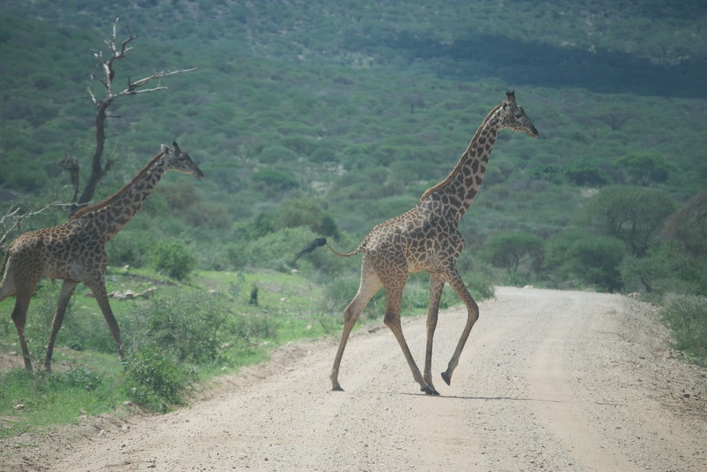
Wildlife corridors do exactly what they imply. They provide safe passage for animals. Devices like these became increasingly important as pristine wilderness succumbed to development or urbanization. Without them animal populations became isolated even if protected within parks. This impacted genetic diversity and the overall health of local species.
Further problems occurred when animals tried to travel from one safe space to another. They trampled over farmers’ fields or suburban backyards. They died crossing busy roadways. As an example, the National Wildlife Federation once estimated that a vehicle hit an animal at least every 26 seconds.
A wildlife corridor can correct those issues. Solutions exists at various levels. These stretch from vast regional or even transnational fixes, all the way down to the hyper-local. Twelve Mile Circle decided to focus on a few examples from around the globe.
Siju-Rewak Elephant Corridor

Indian elephants represent the largest population of three distinct subspecies of Asian elephants. However the population dropped drastically during the 20th Century. The last century began with about a hundred thousands animals. Yet it ended with maybe a quarter of that. Habitat loss, human pressures and population fragmentation further limited Indian elephants. Maybe they now inhabit only 15% of their historical range. This made corridors vital to their survival.
“If you look at a map depicting the distribution of the elephant today, you will see a shattered kingdom, a vastly reduced range broken into fragments, a few drops of colour splashed accidentally on a worn out South Asian fabric. This is the tragedy facing the Asian elephant today – existence in isolation.”
The Wildlife Trust of India (WTI)’s National Elephant Corridor Project identified natural migration paths. Thus, the Siju-Rewak Corridor in the Garo Hills offered one case study. It fell within the state of Meghalaya, in the far northeastern corner of India where it bordered Bangladesh. Here the Someshwari (or Simsang) River cut through the Garo Hills. It created a rocky ravine too steep for elephants to cross except in four places. The Trust worked with local communities to set-aside necessary land at choke points so elephants could pass undisturbed. This connected a string of protected properties; Balpharkam National Park, Siju Wildlife Sanctuary, Rewak Reserve Forest and Nokrek National Park (map).
Amboseli-Chyulu Wildlife Corridor

A similar situation existed in eastern Africa. Here, Kenya dealt with multiple dimensions to the problem. Wildlife on the plains required lots of room to roam. Tourism brought a huge economic benefit that depended on healthy, sustainable animals. However, nobody would come for a safari experience if there weren’t any marquis species like giraffes, lions, zebras and elephants. Yet the people who lived there also needed land for their survival. Animals got pushed onto parks. The need for corridors became imperative.
As an example, the African Wildlife Federation created the Amboseli-Chyulu Wildlife Corridor. It connected Amboseli National Park, Chyulu Hills and Tsavo West National Park (map). The Federation also used monetary incentives. Local landowners earned payments “for every acre set aside for conservation and safeguarded against poaching, subdivision, and other activities that could degrade habitat.”
Mata Atlantica
Brazil’s Atlantic Forest (Mata Atlantica) also faced similar pressures.
“The Brazilian Atlantic Forest is one of the most biodiverse forests in the world. 70% of Brazil’s population now lives in the area that was once the Atlantic Forest. Only 7% of the forest remains and in Pontal do Paranapanema that number is down to 3%.”
Efforts to create wildlife corridors sprang up in various parts of the nation. In support, non-profit groups such as the World Land Trust purchased significant acreage. Then they then donated the land for conservation purposes. Other groups such as WeForest investigated where animals migrated using GPS collars. From there they could focus on creating corridors along those natural routes. One corridor connected Morro do Diabo State Park (map) and the Iguaçu National Park.
Local Roads

Not everything needed to take place on such a gigantic scale. Effective local solutions also exist in many places. For example, in the city of Edmonton in Alberta, Canada took action. There on its southern edge sat Larch Sanctuary and the Whitemud Nature Reserve.
“Nestled in the middle of Edmonton lies Larch Sanctuary, a section of the Whitemud creek ravine just upstream of its confluence with Blackmud creek. This 58 acre reserve is on the south side of 23rd Avenue, with housing developments at the top of the banks on either side, so it truly is a sanctuary. Despite being right inside a major city, Larch Sanctuary retains remarkable biodiversity.”
This was the “only continuously-wooded, relatively-undeveloped stretch of land running through the City,” It also contained Edmonton’s only ox bow lake, a topic of particular interest to 12MC. However animals needed a way to get to and from this protected space. They risked being hit on a busy divided highway, Anthony Henday Drive. Thus, the solution centered on constructing a specially constructed underpass (satellite view). Then animals could cross freely.

Leave a Reply