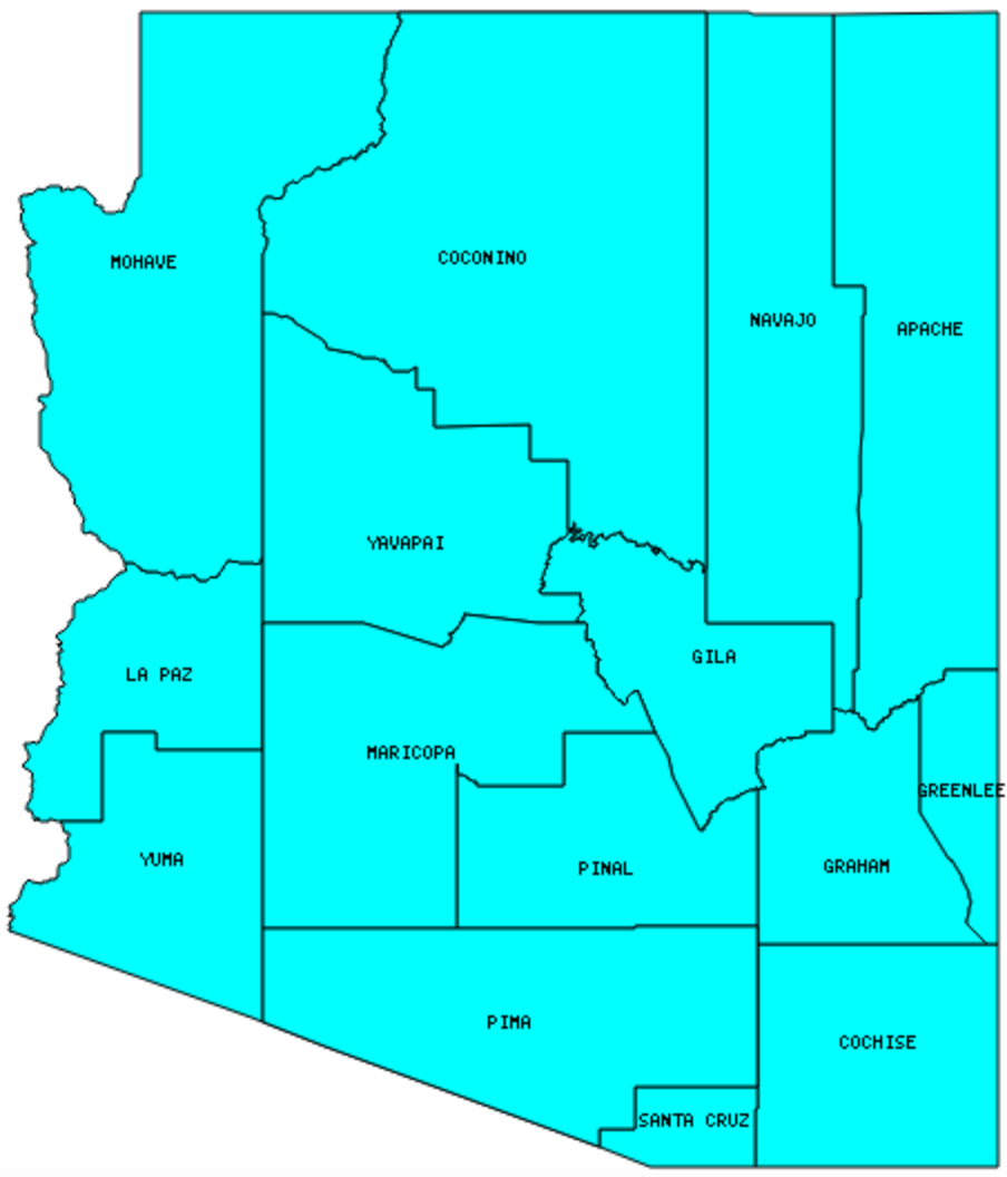
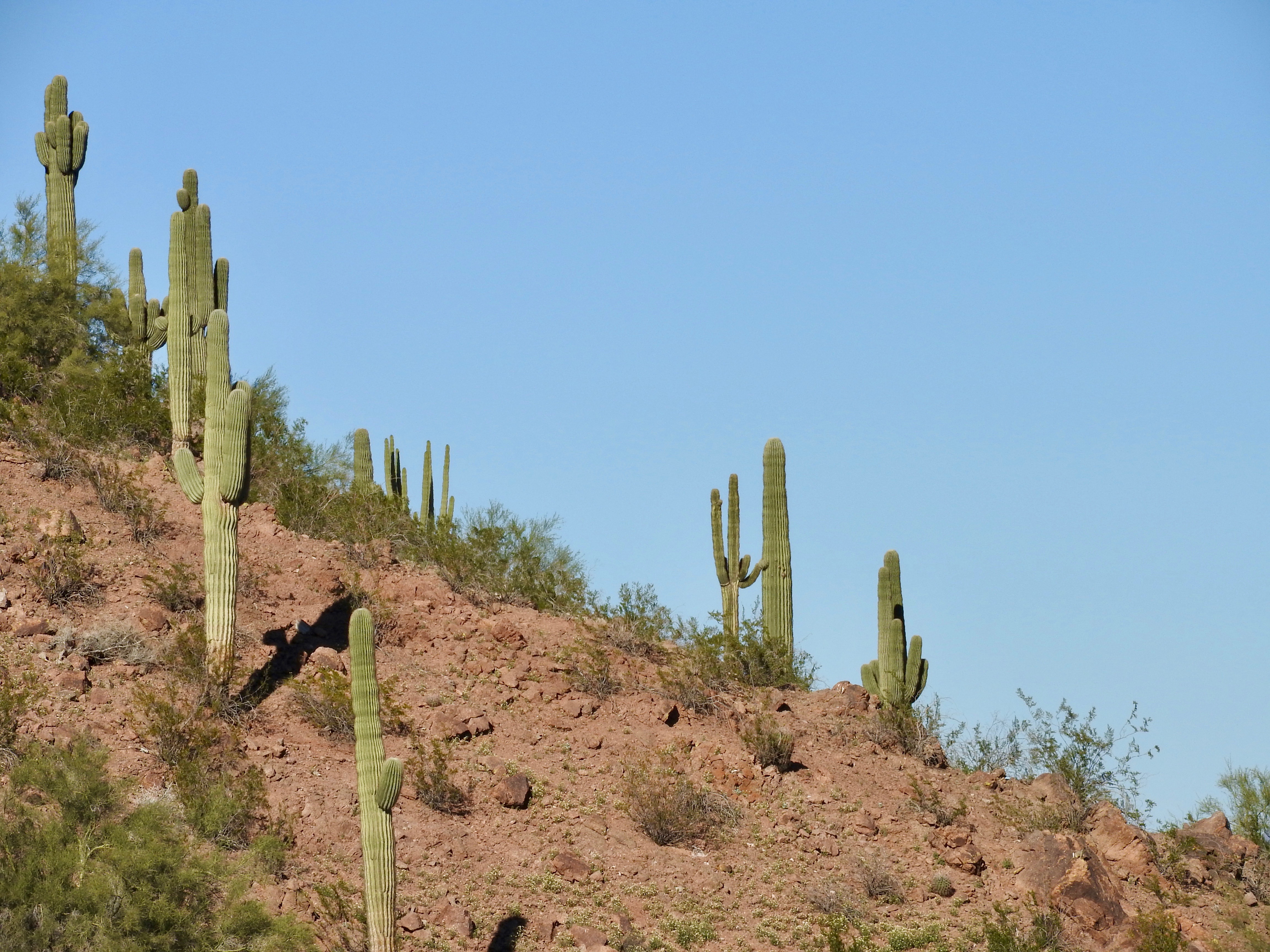
There are 15 counties in Arizona – “The Grand Canyon State“
Also be sure to see my United States County Counting Page for the rest of the states.

I have visited 15 Counties = 100% of Counties in Arizona
Counties visited are colored-in; counties still needing to be visited are blank. Map created using Mob Rule.
Twelve Mile Circle Articles Featuring Places in Arizona
Markers designate the Arizona locations featured in Twelve Mile Circle articles.
Interesting Arizona County Trivia
- Apache County is Arizona’s contribution to the famed Four Corners, the only place in the United States where four states come together at a single point. See my Four Corners page.
Counties in Arizona

Below are the 15 counties in Arizona. Although infrequent, counties sometimes do change so please let me know if any of this information is out of date and I will update it. Those counties that I have visited are highlighted in Red. Readers can also link to any articles manually in this section if the map isn’t working.
- Apache: Four Corners Reflections; Apprentice Tank; Four Corners; Joe Friday Well; Footloose
- Cochise: Bill Williams’ Legacy; Fry in Fry; Lead Stravenue
- Coconino: Largest county in Arizona (18,617 square miles); Bill Williams’ Legacy; Oak Creek Brewery; Supai
- Gila
- Graham: Safford
- Greenlee: Smallest county population in Arizona (8,547 people in 2000 Census); Duncan
- La Paz: Bill Williams’ Legacy; Entering La Paz
- Maricopa: Largest county population in Arizona (3,072,149 people in 2000 Census); All Saints Newman Center; Arizona Monsoon; Carefree Sundial; Pueblo Deco; Strip Annexation; The Park You Cannot Visit; Surprise!; Arizona Capitol Museum; Great Scott; Zoos & Brews; A Week in Phoenix
- Mohave: 100th Meridian Initiative; The Arizona Strip; Carlos Elmer’s Joshua View; Lake Mead
- Navajo: Time Zone Anomalies; Show Low; Snowflake
- Pima: Arizona Stadium; Bill Williams’ Legacy; Pueblo Deco; Sasabe Border Crossing; Tucson’s Stravenues; Thunder Canyon Brewery; Tuffet Tank; Why; Charles O. Brown House
- Pinal: The Park You Cannot Visit
- Santa Cruz: Smallest county in Arizona (1,238 square miles); Nogales
- Yavapai: Arizona’s Wandering Capital
- Yuma: Bridge to Nowhere; Paradise Casino; Morelos Dam; Yuma Territorial Prison
Quick Facts About Arizona
- Location: Mountain West United States. See map above.
- Size(1): 113,594 square miles. Arizona is the 6th largest state. The next larger state is New Mexico and the next smaller state is Nevada.
- Population(2): 7,171,646 people. Arizona is the 14th most populous state. The next more populous state is Washington and the next less populous state is Massachusetts.
- Population Density: 63.1 people per square mile. Arizona is the 33rd most densely populated state. The next more densely populated state is Mississippi and the next less densely populated state is Arkansas.
- Bordering States: Arizona shares a border with 5 states: Colorado (at a single point), Utah, Nevada, California and New Mexico.
- Admission to the Union: Date, February 14, 1912. Arizona was the 48th state admitted to the Union, after New Mexico and before Alaska.
- Capital: Phoenix.
- Highest Point: 12,633 feet at Humphreys Peak. See SummitPost’s Humphreys Peak page.
- Lowest Point: 70 Feet along the Colorado River in Yuma County.
- Government website: Arizona Official Website.
- Official Tourism website: Visit Arizona.
- Still not enough? See Wikipedia’s Arizona page.
Sources:
(1) Wikipedia: List of U.S. states and territories by area. Land area only.
(2) Wikipedia: List of states and territories of the United States by population. Estimated population on July 1, 2019.

Leave a Reply