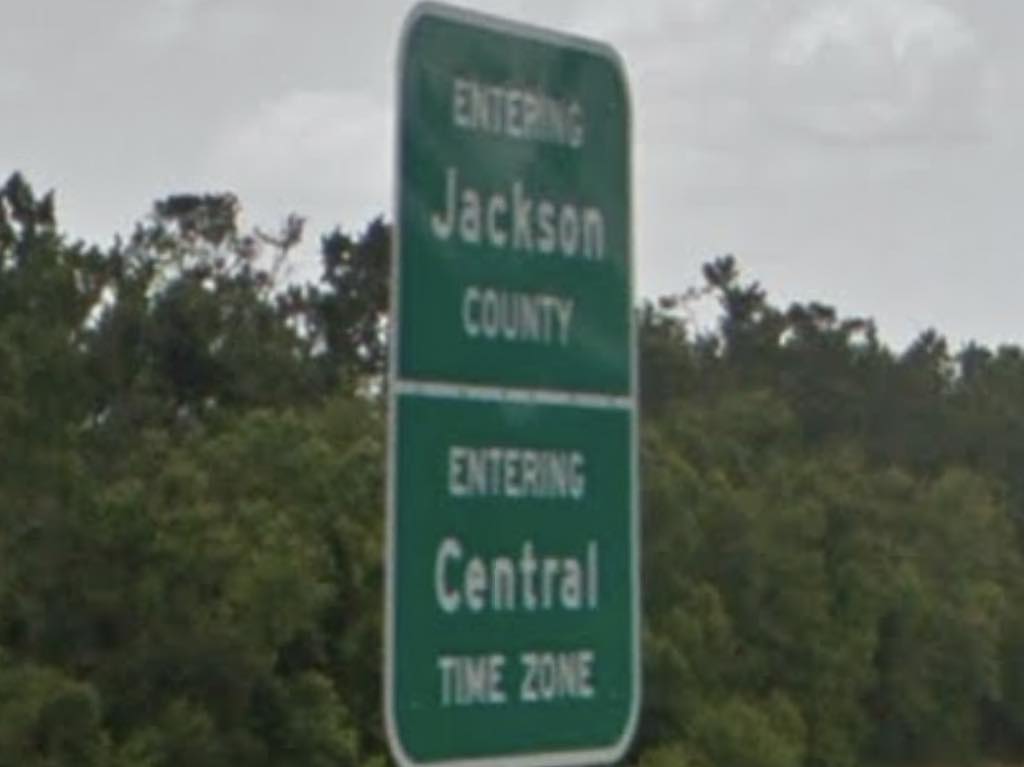
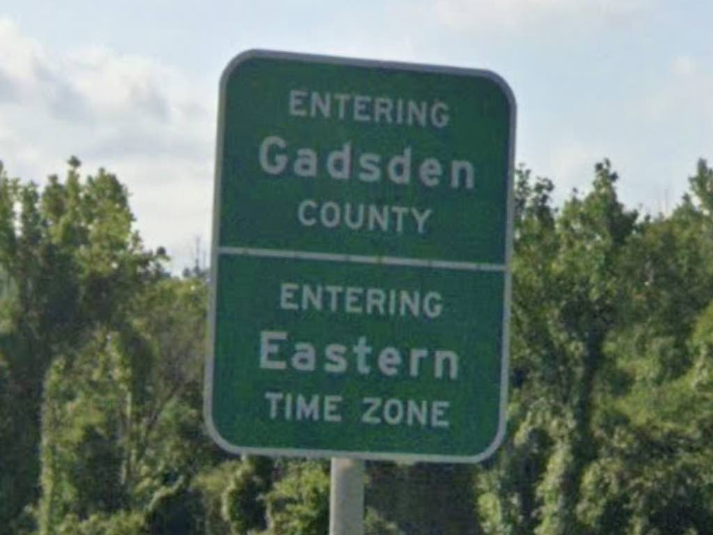
I’ll bet you’re checking your phone right now, driving along Interstate 10 in Florida and wondering where the time changes. I think I can help you. It happens between Mile Markers 160 and 161.
- If you’re driving westbound, going from Eastern Time into Central Time, set your coordinates to: 30.633557°, -84.904119°
- If you’re driving eastbound, going from Central Time into Eastern Time, set your coordinates to: 30.633291°, -84.904120°
So that should do it. That’s the nice simple answer and now you’ll know when to adjust your watch. On the other hand, a small number of readers might want some additional context. Maybe learn some fun facts? And what’s the difference between a normal fact and a fun fact, by the way? Unfortunately I can’t help with that last one.
The Setup
I was genuinely shocked with the popularity of the Tennessee I-40 page I created a few weeks ago. Then I started noticing a number of new queries on the site that referenced I-10 in Florida. I can only guess that there’s minimal information about this little niche subject on the Internet.
Like, who cares where the time changes along a highway? Well, apparently, a lot of people. So I’ll try this again but with I-10 and maybe create additional pages for other states and highways if the need arises.
In Florida, water defines a split between Eastern and Central Time. From the north, the Chattahoochee River separates Georgia from Alabama for much of their shared border. Georgia follows Eastern Time and Alabama follows Central Time. Then this same distinction continues as the Chattahoochee forms part of the Florida border.
Ditto when the Chattahoochee joins the Apalachicola River and cuts through the Florida panhandle. One side of the river follows Eastern Time and the other follows Central Time. Interstate 10 crosses the Apalachicola River about 40 miles west of Tallahassee so that’s where the time changes.
Florida is a really long state. It’s no surprise the time has to change somewhere along the way. So watch for the river and let that serve as your guide.
Westbound (going from Eastern to Central Time)

The river is great for marking other things too, including county boundaries. Along I-10, this means someone crossing the Dewey M. Johnson Bridge will transition between Gadsden and Jackson Counties.
But who was Dewey Johnson? Fortunately Wikipedia has an answer for everything and it turns out that the bridge honors Dewey Macon “Nick” Johnson. He was a minor Florida politician back in the 1940’s, 50’s and 60’s. He wasn’t particularly noteworthy, but then again neither is the bridge. Nonetheless, it’s one more thing than has ever been named for me so good for him. Johnson lived about 20-miles away from the bridge and everything seemed fine.
Also, beauty is in the eye of the beholder. The bridge didn’t impress me particularly but Bridgehunter had some nice words:
“The Dewey M. Johnson Bridge is noted for being an example of the haunched deck plate girder design, which outside of the state of Arkansas which built them in abundance, are one of the more uncommon types of girder bridges.”
So there you go. Be on the lookout for those rare haunched deck plate girders. I’ve actually driven across it too, most recently going westbound a few years ago as I drove between Jacksonville, Florida and the Mississippi Gulf Coast.
Eastbound (going from Central to Eastern Time)

The time zone boundary is really quite simple here. However, things get bizarre a little further south along this line. Sometimes that happens when a border follows a natural feature such as a river. There is a Florida town called Overstreet (map) in Eastern Time that is surrounded on three sides by Central Time. But that’s not a worry here along Interstate 10 where a river, a county line and a time zone all come together.

Leave a Reply