São Miguel, The Azores (Açores), Portugal (March 2001)
This page focuses on miscellaneous scenery throughout São Miguel. We took lots of photographs as we drove throughout the central and eastern portions of the island. However there weren’t enough photos to justify an individual page for each of the locations shown below.
Caloura

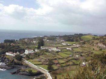
The picturesque town of Caloura (map) sits on the south central shoreline about halfway between Lagoa and Vila Franco do Campo. Sturdy stone walls protect vineyards in this coastal village. Also, there’s also a great swimming beach at the base of town formed from a natural lagoon.
Biai de Santa Iria

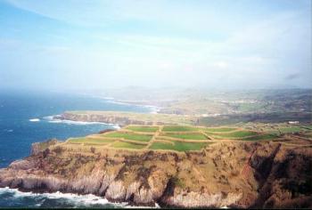
Biai de Santa Iria (map) sits on the other side of the island on the north central shoreline. It is east of the town of Ribeira Grande along the coastal road. This agricultural flat coastal plain drops dramatically into the ocean. Then waves crash violently against the exposed rock wall.
Porto Formoso

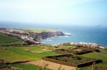
Then comes Porto Formoso (map), continuing east on the northern shoreline. This is a continuation of the flat coastal plain atop cliffs that drop down into the ocean. This town serves as a fishing port.
Gorreana

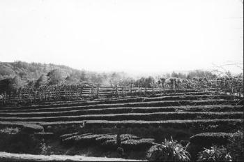
Heading east on the same road a little farther leads to “Fábrica de Chá Gorreana,” the Gorreana Tea Factory (map). This may be the only tea factory in Europe. So they claim. Numerous hedgerows fill terraces on the sloping hillside. Then workers harvest leaves from the hedges and process them into tea.

Leave a Reply